
Elevation 260 m (850 ft) Population 31,049 (30 Jun 2010) | Time zone CET/CEST (UTC+1/+2) Local time Sunday 4:14 PM | |
 | ||
Weather 11°C, Wind W at 31 km/h, 83% Humidity Points of interest Ruhr, Schloss Laer, SinnePfad am Hennesee, Museum für Bäuerlich, Berger Mühle | ||
Meschede is a town in the Hochsauerland district, in North Rhine-Westphalia, Germany. It is the capital of the district Hochsauerlandkreis.
Contents
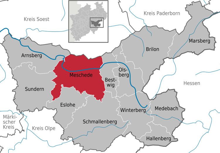
- Map of Meschede Germany
- Education
- Geography
- Neighbouring municipalities
- Division of the town
- History
- Transportation
- Climate
- Mayors of Meschede
- Media
- Notable people
- Main sights
- International relations
- References
Map of Meschede, Germany
Education
One of the five branches of South Westphalia University of Applied Sciences (also: Fachhochschule Südwestfalen (FH SWF)) is located here.
Geography
Meschede is situated in the Ruhr valley, near to the Hennesee, south of the nature-park Arnsberger Wald. Major towns in the vicinity of Meschede are Paderborn (51 km), Kassel (85 km), Siegen (57 km), Hagen, Dortmund (60 km) and Hamm (49 km).
Neighbouring municipalities
Division of the town
After the local government reforms of 1975 Meschede consists of these districts and villages:
History
In 1921 the Sauerländer Heimatbund was founded.
Transportation
Meschede is connected with two national roads, the federal roads B 7 and B 55, and the motorway A 46. It has an airfield, the Meschede-Schüren Airfield, with a 900 m runway.
Climate
The city's climate is continental. The lowest temperature recorded was −20 °C (−4 °F), its highest was recorded at 39 °C (102 °F).
Mayors of Meschede
Media
Meschede has its local radio station Radio Sauerland. The Fachhochschule Südwestfalen runs its own radio station called radioFH!. The regional newspapers are Westfalenpost and Westfälische Rundschau. The local newspaper is the Sauerlandkurier.
Notable people
Main sights
International relations
Meschede is twinned with:
Also unofficial friendly relations exist with the following towns: