Easiest route hike Prominence 283 m Parent range San Miguel Mountains | Elevation 2,692 m Mountain range San Juan Mountains | |
 | ||
Topo map USGS 7.5' topographic mapThompson Park, Colorado Similar Lavender Peak, Hesperus Mountain, Turret Peak, Pigeon Peak, El Diente Peak | ||
Menefee Peak is a mountain summit in the southern San Miguel Mountains range of the Rocky Mountains of North America. The 8,832-foot (2,692 m) peak is located 2.9 miles (4.6 km) southeast by east (bearing 119°) of the Town of Mancos in Montezuma County, Colorado, United States. Other surrounding mountain peaks include: Flint Rock Point, Maggie Rock, Weber Mountain, Caviness Mountain, and Red Arrow Dome.
Contents
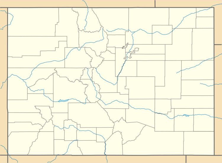
Map of Menefee Peak, Colorado 81328, USA
Historical namesEdit
References
Menefee Peak Wikipedia(Text) CC BY-SA
