
Originally published May 1966 Genre Road map | Media type Paperback Country Australia | |
 | ||
Author Publisher Melway Publishing Pty. Ltd. Publication date May 1966 (1st (1966) edition) Pages 1240 (42nd (2015) edition) | ||
Melway scale
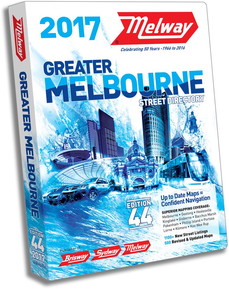
Melway (colloquially referred to as Melways or The Melways is an almost ubiquitous street directory for Melbourne, Victoria, Australia and its immediate surrounds, including the city of Geelong. It is currently in its 44th edition—the 2017 edition—which was released in July 2016.
Contents
- Melway scale
- Second breakfast 112 project melway xx the man without a face
- History
- Features
- Grid references
- Cartography
- Editions
- List of Editions
- Expansion into other Australian markets
- References
Second breakfast 112 project melway xx the man without a face
History
Melway was conceived by Merv Godfrey and Iven Mackay in the 1950s. The first edition of Melway was released in May 1966, after five years of work and research. Many detractors claimed Melway would be unpopular due to its high price at the time – $2.50, twice that of its most expensive competitor. All of the 106 original maps were hand-drawn in ink. First editions of Melway can sell for around $500 on the second hand market. A reprint of the first edition was released in 2012 and can be purchased from Melway for $150. The original maps from the first edition can be viewed online via a clickable map.
By the early 1980s Melway was the most popular street directory in Melbourne, holding in excess of 80 per cent of the market; indeed "Melway" had begun to be used as a generic term for any street directory. The current RRP for a 2017 Melway is $62.95, but many retailers sell Melway for around $40.
In 1982, after the fourteenth edition of Melway had been released, it was awarded the International Cartographic Excellence Award, as well as the inaugural award for Cartographic Excellence from the Australian Institute of Cartographers. Ausway won the Australian award again in 1994 for its first edition of Sydway.
Most motorists in Melbourne have a copy of Melway, as do many taxi drivers, bus drivers and some hire cars. It is officially used by the Victoria Police, fire brigade, ambulance service, Victorian State Emergency Service, St. John Ambulance Victoria and for the State government car fleet. Its main competitor is UBD-Gregory's, which is the most popular brand in all other states and territories.
The Melbourne Museum has an exhibit dedicated to the directory.
Features
While primarily a street directory, Melway editions also contain details on public transport (train, tram, and bus routes, tickets and prices), bicycle paths, suburb and postcode details, public parks and reserves, landmarks (such as commercial buildings, telephone boxes, pubs and restaurants), attractions, and also boat mooring details in recognised docks.
In addition to the blue-bordered and red-bordered street maps, there are yellow-bordered maps of university campuses and crematoria, and green-bordered maps showing routes through the country to Adelaide, South Australia and Sydney, New South Wales. Many versions of the street directory are obtainable, usually in standard or large-print editions, wall-charts, or an online directory.
Grid references
In Melbourne it is common for a Melway reference (in the format Map – Grid reference, e.g. 59 K5) to be given along with directions on, for example, an event notice or real estate advertisement. It is generally assumed that everyone has, or has access to, a copy of the directory in Melbourne. By comparison, the UBD reference for a particular "Melways reference" (as it is colloquially known) can be significantly different, but is rarely (if ever) provided. It is generally assumed that all such references, regardless of whether it is explicitly stated or not, are from the Melway directory and not from the UBD. The reverse is true in all other states and territories.
Some organisations provide a Melway year of publication in addition to their map reference (e.g.: (2006) 70 F6), to avoid confusion if map references change in newer versions of the directory. However Melway have kept the need for this to an absolute minimum over the years and have held off several cartographic features, including a more logical overall tiling of pages across the entire metropolitan area (which do appear in the Sydway and Brisway) in order to protect the integrity and continuity of the original 1966 grid references.
Cartography
One of the distinguishing differences of a Melway-style map from other Australian street directories is in the rendering of roads. Rather than the traditional drawing of two lines with the road name printed in-between, (known as 'double casing') Melway maps show a single line with the name above or below the road, in many colours reflecting the identity or usage of the road. This allows for much more detail to fit into the same size map, as well as showing dual carriageways, slip lanes, service roads, speed bumps, roundabouts, and other useful information.
This difference has been copied by UBD in their Melbourne directory, in a bid to capitalise on familiarity of Melway. UBD have only attempted this in the Melbourne directory, retaining their usual format for their other directories. The map design was first fully completed by computer in 2000.
Editions
There have been 42 editions of Melway released since the mid-1960s. A new edition is typically released late one year and advertised for the following year. Example: Edition 35 was released in August 2007 and advertised as the 2008 Melway. This is not entirely misleading as many roads and features under construction or proposed are included fully detailed (such as Eastlink in the 35th edition), thus even editions up to 5 or even 10 years old are still useful.
List of Editions
Below is a list of Melway editions, the years they were released, their price at the time of release and other information and introduced features:
Expansion into other Australian markets
Melway has spawned an umbrella company known as Ausway, which started producing directories for other cities and towns from the early 1990s onwards. These other directories include: