
Population 1,864 (2011 census) Elevation 505 m Local time Friday 1:04 PM | Postcode(s) 3440 Mean max temp Mean min temp Postal code 3440 | |
 | ||
Location 61 km (38 mi) NW of Melbourne90 km (56 mi) SE of Bendigo Weather 17°C, Wind SE at 31 km/h, 50% Humidity Points of interest Macedon Forest Glade Ga, Gardens of Tieve Tara, Stanley Park, Macedon Regional Park | ||
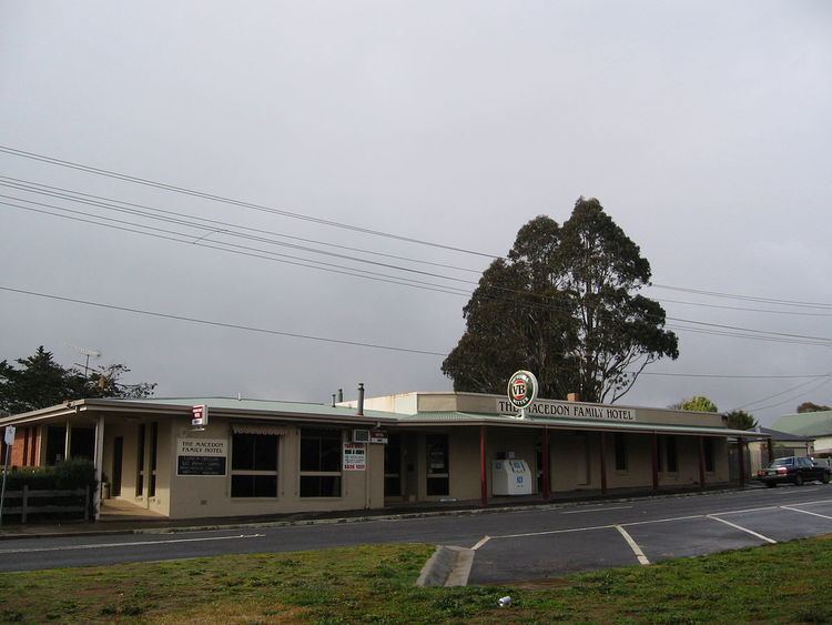
Macedon /ˈmæsədən/ is a town located near the Calder Freeway between Melbourne and Bendigo in the Macedon Ranges in central Victoria, Australia. It is in the local government area of the Shire of Macedon Ranges at the foot of Mount Macedon, a 1,013-metre (3,323 ft) peak to the north.
Contents
Map of Macedon VIC, Australia
History
The Post Office opened on 15 March 1859 and was known as Black Forest until 1870. In February 1983, the Ash Wednesday fires swept through the area, destroying many houses.
As of 2009, the town is serviced by the Macedon railway station on the Bendigo railway line. Macedon has a primary school which was once attended by wartime Prime Minister of Australia, John Curtin. The town also has registered teams in cricket, Australian rules football, lawn bowls, tennis and netball.
Film and Television Industry
Macedon is often known as the town from "Picnic at Hanging Rock", the 1975 mystery movie based on the novel of the same name.
Parts of the 2009 Nicolas Cage film "Knowing" was shot around Macedon, most notably the local petrol station which was renovated to appear more like an American gas station. Most of the film was also shot nearby in Mount Macedon. The television series 'Chris Humfrey's Wild Life' was filmed in Macedon. The series aired in March 2011 on the Australian Broadcasting Corporation