
Length 74 km | ||
 | ||
History: Designated in 2011Completed in 2014 | ||
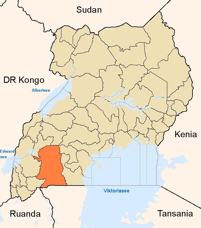
The Mbarara–Kikagati Road is in southwestern Uganda, connecting the city of Mbarara in Mbarara District and the town of Kikagati in Isingiro District, at the border between Uganda and Tanzania. The road continues into Tanzania as Highway B182.
Contents
Location
The road starts at Mbarara and then passes through Gayaza, Isingiro, and Kibwera and ends in Kikagati, a distance of approximately 65 kilometres (40 mi). The coordinates of the road near Gayaza in Mbarara District are 0°41'37.0"S, 30°41'36.0"E (Longitude:-0.693611; Latitude:30.693333).
Overview
The road, whose total length is 74 kilometres (46 mi), was previously made of unsealed gravel before being converted to class II bitumen surface. The conversion was done by China Communications Construction Company between 2011 and 2014.
The road effectively connects the town of Mbarara to the town of Kikagati and to Murongo across the Kagera River in Tanzania. In addition to the straight road, there is a 7 kilometres (4 mi) loop around Isingiro and Mabona.