
Time zone EAT (UTC+3) Local time Monday 8:14 PM | Elevation 1,240 m | |
 | ||
Kikagati is a town in Western Uganda.
Contents
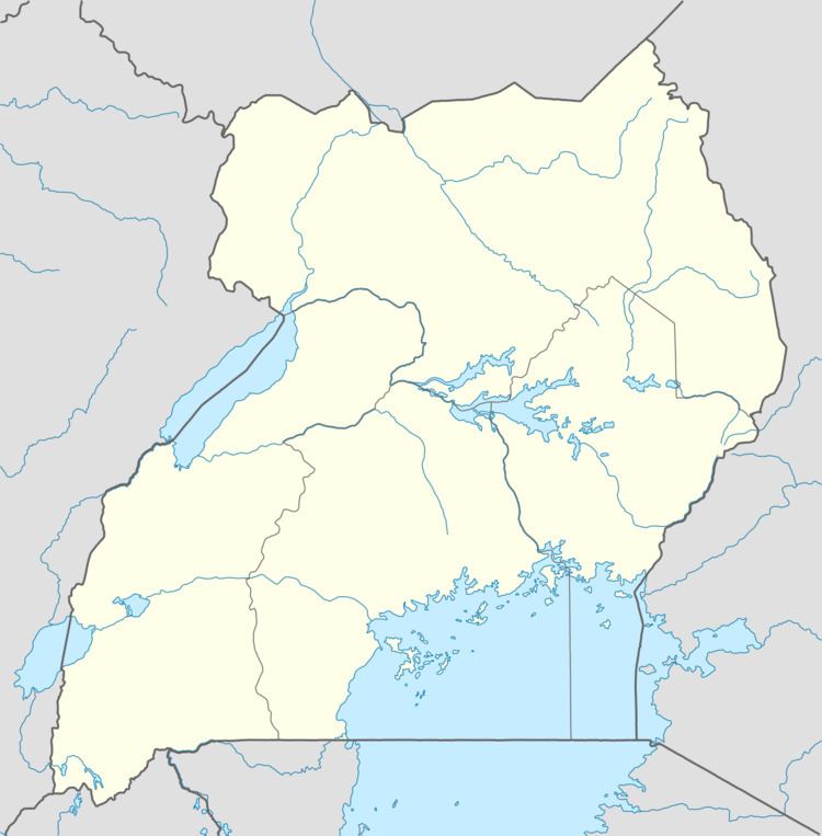
Map of Kikagati, Uganda
Location
Kikagati is located in Isingiro District, Ankole sub-region, in southwestern Uganda. The town lies close to Uganda's border with Tanzania. It is located approximately 327 kilometres (203 mi), by road, southwest of Kampala, Uganda's capital and largest city. This location is approximately 61 kilometres (38 mi), by road, south of Mbarara, the largest city in the sub-region. The coordinates of the town are:01 02 42S, 30 40 07E (Latitude:-1.0450; Longitude:30.6686).
Overview
The small town of Kikagati, Isingiro District, southwestern Uganda, sits on Uganda's border with the Republic of Tanzania. Nestled between hills that rise to heights of 1,420 metres (4,660 ft) on the Ugandan side and 1,560 metres (5,120 ft) on the Tanzanian side, the town is a major crossing point between the two countries.
Population
The exact population of Kikagati is not known as of February 2010.
Points of interest
The following points of interest lie within the town limits or close to the edges of the town: