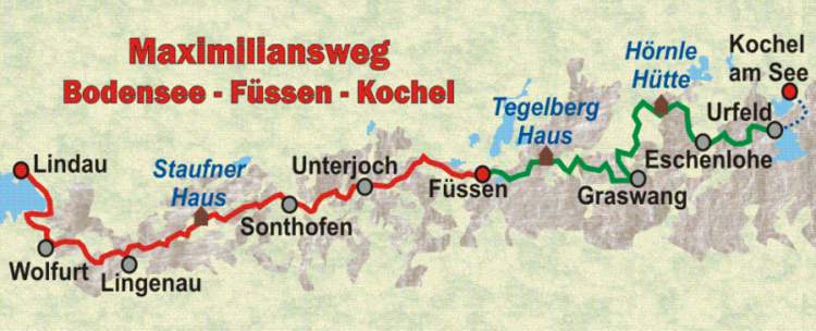
Length 350 km (217 mi) Use Hiking Season Summer | Trail difficulty medium | |
 | ||
Highest point Tegelberg-Haus, 1,707 m (5,600 ft) | ||
Vom wendelsteinhaus ber den maximiliansweg nach bayrischzell
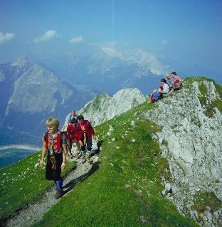
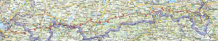
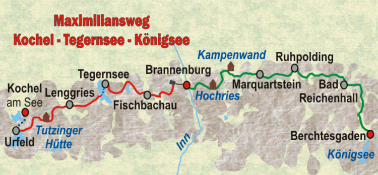
Maximiliansweg is a long-distance hiking path through the Bavarian Alps (with some short sections through the Austrian Alps), which connects Lindau (im Bodensee) to Berchtesgaden. The trail is about 350 km in distance and is largely congruous with long-distance path E4. Two boat crossings are suggested, from Lindau to Bregenz (over the Bodensee) and from Bad Wiessee to Tegernsee (over the Tegernsee).
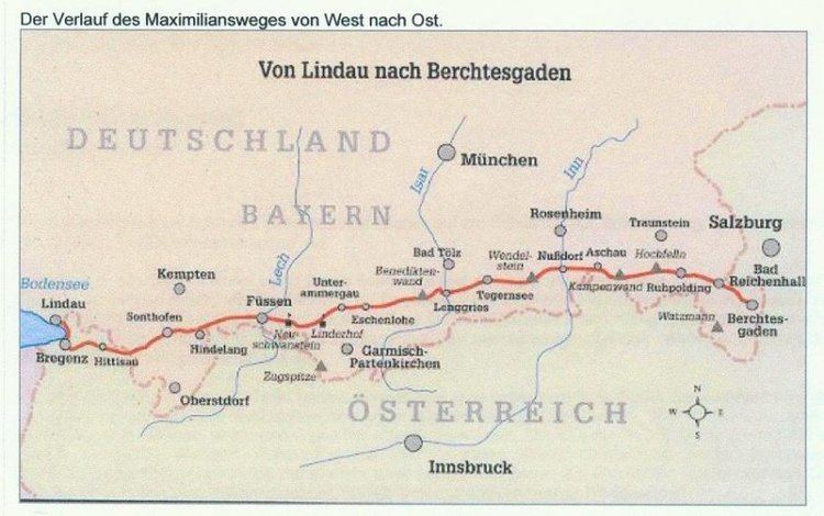
Beginning in Lindau, the path travels through Bregenz, Füssen passing such notable sites as Neuschwanstein castle. It continues through the Ammergauer Alps, Mangfallgebirge, Chiemgauer Alps and ends in Berchtesgaden south of Salzburg.
A hiking path near Maximiliansweg is the Lech-Höhen-Weg, that follows the Lech river and begins North in Zollhaus and ends South in Füssen.