
Time zone IST (UTC+5:30) Telephone code 06323 Local time Wednesday 8:06 PM ISO 3166 code ISO 3166-2:IN | PIN 802125 Area 195 ha Area code 06323 | |
 | ||
Weather 21°C, Wind W at 3 km/h, 42% Humidity | ||
Maudiha is a village in the Buxar District of Bihar state, India. It is 25 km Far of Bihiya Railway Station and 42 km from Arrah Railway Station. It is located on Arrah- Mohania Road (NH 30).
Contents
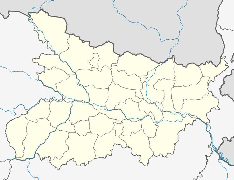
Map of Maudiha, Bihar
Transportation
From main road (NH 30) this village is connected through Maudiha Road.
Railway connectivity for this village is at Bihiya( very nearest almost 25 km far in east), Ara Railway Station (42 km far in east), Dumraon Railway Station (almost 43.4 km far in West to north) .
Demographics
The net population is 1,419, out of which there are 695 males (49%) and 724 females (51%).
Education
There is a primary school and a madrasa in the village
The Indian government has also introduced various Anganwadi Kendra to provide basic education for villagers.
References
Maudiha, Bihar Wikipedia(Text) CC BY-SA