
Website Official website Major highway National Highway 922 | Major highways NH 84 Area 1,624 km² | |
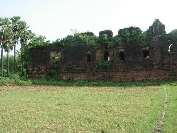 | ||
Points of interest Ganges, Buxar Fort, Science Museum - Buxar - Bi, Fort of Raja Bhoj | ||
Buxar district is one of the thirty-eight districts of Bihar state, India. The district headquarters are located at Buxar, a small city. Buxar District is located on the banks of river Ganges. A road bridge over Ganges connects Buxar with Ballia District in the neighboring state Uttar Pradesh.
Contents
Map of Buxar, Bihar
Mythology
It is said that Ahilya, the wife of Gautam Rishi restored her human body from that of stone and got salvation by a mere touch of the feet of Lord Rama. This place is now known as Ahirauli, and is situated six kilometers away from Buxar. The Kanwaldah Pokhara, also known as VyaghraSar, is today a tourist destination.
Geography
Buxar district occupies an area of 1,703 square kilometres (658 sq mi), comparatively equivalent to Australia's Bathurst Island.
Demographics
According to the 2011 census, Buxar district has a population of 1,706,352 (roughly equal to the nation of The Gambia or the US state of Nebraska). This gives it a ranking of 285th in India (out of a total of 640). The district has a population density of 1,003 inhabitants per square kilometre (2,600/sq mi) . Its population growth rate over the decade 2001-2011 was 21.67%. Buxarhas a sex ratio of 922 females for every 1000 males, and a literacy rate of 70.14%.