Width 200 m (700 ft) | Length 700 m (2,300 ft) Population Uninhabited | |
 | ||
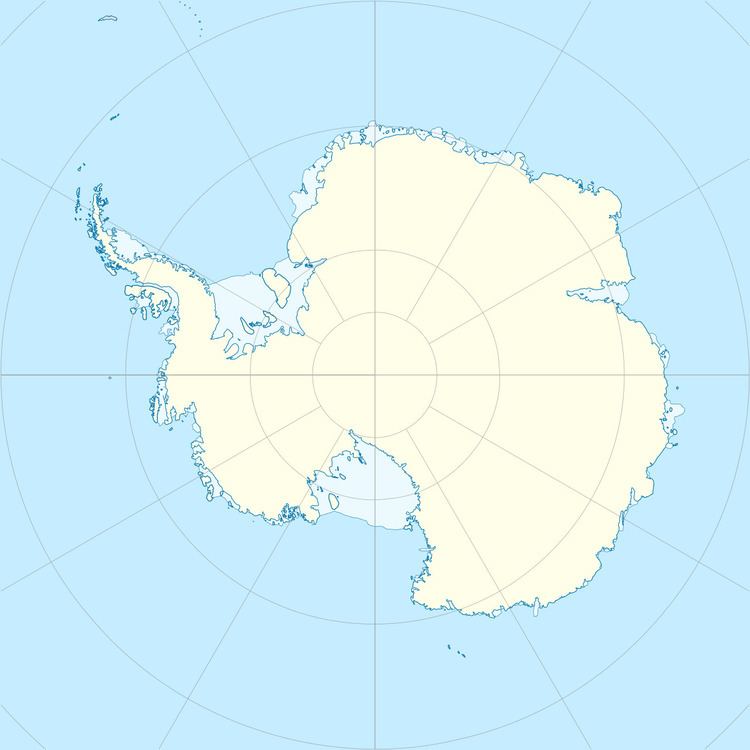
Masteyra Island (Bulgarian: остров Мастейра, ‘Ostrov Masteyra’ \'os-trov ma-'stey-ra) is a rocky island 700 m long in east-west direction and 200 m wide lying in Perrier Bay on the northwest coast of Anvers Island in the Palmer Archipelago, Antarctica. It is separated from Anvers Island to the east-southeast by an 1.13 km wide passage.
Contents
Map of Masteyra Island, Antarctica
The island is named after the ancient Thracian settlement and fortress of Masteyra in Southern Bulgaria.
Location
Masteyra Island is located at 64°22′32″S 63°41′47″W, 6.58 km south of Quinton Point, 4.21 km north of Vromos Island and 7.55 km east-northeast of Giard Point. British mapping in 1980.
Maps
References
Masteyra Island Wikipedia(Text) CC BY-SA
