
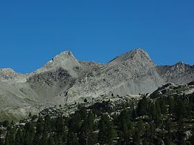
Mountains Tête de l'Estrop | Elevation 2,961 m Type of rock Sedimentary rock | |
 | ||
Departement | ||
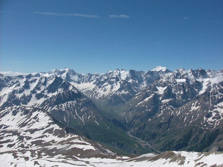
Massif des Trois-Évêchés (Occitan: Massís dei Tres Eveschats, literally the massif of the Three Bishoprics) is a mountain range in the Provence Alps and Prealps in Alpes-de-Haute-Provence, France. Its name comes from the central summit of the massif, the Pic des Trois-Évêchés (so named because it marked the boundary between the dioceses of Digne, Embrun and Senez) where there are ridges to the north, west and south. The highest peak is the Tête de l'Estrop, at 2,961 metres (9,715 ft).
Contents
Geography
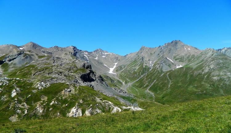
The massif in the broadest sense extends from north to south between the Bes to the west, the Ubaye in the north, the Verdon to the east and the Asse (approximately) to the south. It is also crossed by the Bléone and the Vallon du Laverq.
It is surrounded to the north by the Massif du Parpaillon, east by the Massif du Pelat, south-east by the Préalpes de Castellane and finally to the south and to the west by the Préalpes de Digne (which some southern peaks, or even the whole massif, are sometimes attached, although significantly higher altitudes, and different orientation).
Main summits
The Montagne de Cordœil, of a more modest size and elevation [2,114 metres (6,936 ft)], is completely isolated from the rest of the massif, the Verdon to the east and the Issole to the north and west.
Geology
The massif of the Trois-Évêchés consists of sedimentary rock, mostly sandstones and marls, typical of the pre-Alps. The geological nature of the north of the massif relates to the Ubaye Valley.
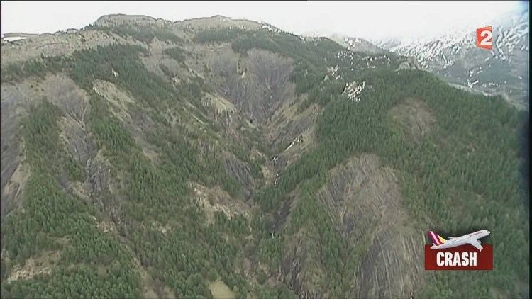
Plane crash
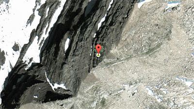
On 24 March 2015, Germanwings Flight 9525 crashed into the massif.
Winter sports
Canyoning
The massif contains, amongst others, two canyoning descents of high and exceptional level: Male Vasudevan and Bussing.