
Elevation 2,961 m (9,715 ft) | ||
 | ||
Borders on Maritime Alps, Dauphiné Alps, Dauphiné Prealps and Cottian Alps | ||
The Provence Alps and Prealps (Alpes et Préalpes de Provence in French) are a mountain range in the south-western part of the Alps, located in Provence-Alpes-Côte d'Azur (France). Provence Alps and Prealps encompass the south-western area of the French Prealps.
Contents
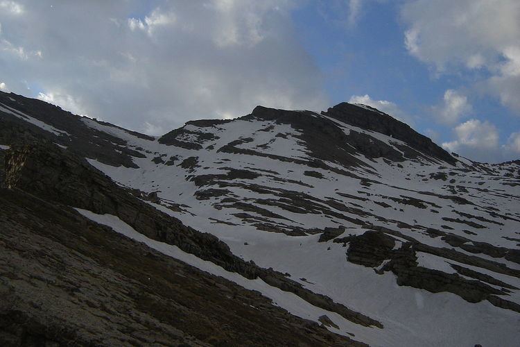
- Map of French Prealps 04270 Saint Jeannet France
- EtymologyEdit
- GeographyEdit
- Notable summitsEdit
- MapsEdit
- References
Map of French Prealps, 04270 Saint-Jeannet, France
EtymologyEdit
The Provence (French pronunciation: [pʁɔvɑ̃s]) is a historical region nowadays part of the administrative région of Provence-Alpes-Côte d'Azur.
GeographyEdit
Administratively the range belongs to the French departments of Vaucluse, Alpes-Maritimes and Alpes-de-Haute-Provence.
The western slopes of the range are drained by the Rhone river through the Durance and other tributaries while its south-eastern part is drained by the Var and several smaller rivers that flow directly to the Mediterranean Sea.
Notable summitsEdit
Some notable summits of the range are: