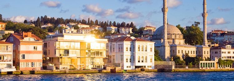
Population 21.89 million (2010) | Area 72,845 km² | |
 | ||
Istanbul marmara region of turkey
The Marmara Region (Turkish: Marmara Bölgesi) is a geographical region of Turkey.
Contents
- Istanbul marmara region of turkey
- Map of Marmara Region Turkey
- Marmara region turkey istanbul turkish com
- Subdivision
- Palearctic
- Provinces
- Geography
- Climate
- References
Map of Marmara Region, Turkey
Located in northwestern Turkey, it is bordered by Greece and the Aegean Sea to the west, Bulgaria and the Black Sea to the north, the Black Sea Region to the east, the Central Anatolia Region to the southeast and the Aegean Region to the south. At the center of the region is the Sea of Marmara, which gives the region its name.
Among the seven geographical regions, the Marmara Region has the second-smallest area, yet the largest population; it is the most densely populated region in the country.
Marmara region turkey istanbul turkish com
Subdivision
Palearctic
Temperate broadleaf and mixed forests
Temperate coniferous forests
Mediterranean forests, woodlands, and scrub
Provinces
Provinces that are entirely in the Marmara Region:
Provinces that are mostly in the Marmara Region:
Provinces that are partially in the Marmara Region:
Geography
The Yıldız Mountains and Uludağ are in the Marmara Region. Islands in the Aegean Sea are Gökçeada and Bozcaada, and in the Sea of Marmara are Marmara Island, Avşa, Paşalimanı, İmralı and the Princes Islands of Istanbul.
Climate
The Marmara region has a hybrid mediterranean climate/humid subtropical climate on the Aegean Sea coast and the south Marmara Sea coast, an oceanic climate on the Black Sea coast and a humid continental climate in the interior. Summers are warm to hot, humid and moderately dry whereas winters are cold and wet and sometimes snowy. The coastal climate keeps the temperatures relatively mild.
