
Population 1,327 (2011) Country Wales Postcode district SA70 Local time Monday 10:23 AM | Sovereign state United Kingdom Police Dyfed-Powys Dialling code 01834 | |
 | ||
Weather 9°C, Wind W at 23 km/h, 94% Humidity UK parliament constituency Carmarthen West and South Pembrokeshire | ||
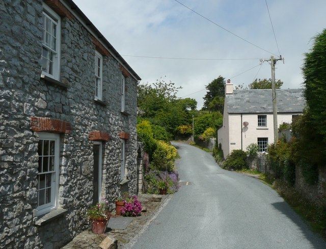
House property for sale manorbier tenby pembrokeshire wales
Manorbier (/ˌmænərˈbɪər/; Welsh: Maenorbŷr [mɑɨnɔrˈbɨːr]) is a community, parish and village on the south coast of Pembrokeshire, Wales. The name means the 'Manor of Pŷr'. The village is served by Manorbier railway station on the West Wales Line.
Contents
- House property for sale manorbier tenby pembrokeshire wales
- Map of Manorbier Tenby UK
- History
- Governance
- Tourism
- Twinned towns
- In popular culture
- References
Map of Manorbier, Tenby, UK
History
Fossils can be found along the stream bed, although some are of poor quality, and along the cliffs to the side of the beach the rock formations are revealed as vertical beds. The evidence of early human habitation consists of many flint microliths, housed in museums around the area, from the Mesolithic and Neolithic ages. The King's Quoit cromlech is the most notable monument in the local area and is to be found to the south east of Manorbier bay and beach.
Later evidence points to occupation of The Dak with the finding of a perforated mace head as well as Bronze age burial mounds on the Ridgeway. Fortifications also seem to have been prominent including an Iron Age enclosure near Manorbier station and the site of a multivallate, meaning multiple ditches, promontory fort at Old Castle Head where there are remains of hut platforms within the ditches.
There are also some old lime kilns near the sites of quarries and a restored version in Mud Lane shows how they looked originally. There is also an area of strip lynchets and fields dating back to early Anglo Saxon times and perhaps as early as the Bronze Age, which is to the east of the town alongside the road to Lydstep. There is a higher concentration near Manorbier Newton to the northwest.
The Norman knight Odo de Barri was granted the lands of Manorbier, Penally and Begelly in gratitude for his military help in conquering Pembrokeshire after 1103. The first Manorbier Castle was motte and bailey style, with the stone walls being added in the next century by later Normans. Giraldus Cambrensis, son of William de Barri, was born in the village in 1146, and called it "the pleasantest place in Wales".
St James's parish church dates from the 12th century and is a Grade I listed building. A large number of other buildings and structures in the parish are listed.
Governance
An electoral ward in the same name exists. This ward stretches inland to St Florence and had a total population at the 2011 Census of 2,083.
Tourism
Modern day Manorbier is a tourist spot and a surfing site. Attractions in the village include Manorbier Castle, and a beach in the cove about half a mile to the south west of the village. Manorbier lies in the Pembrokeshire Coast National Park and on the Pembrokeshire Coast Path.
Twinned towns
Manorbier is twinned with Vernou-la-Celle-sur-Seine, France.
In popular culture
"Manorbier" is the title of an instrumental track on the album Rewind the Film by Welsh rock band Manic Street Preachers, whose bassist and lyricist Nicky Wire often holidays in nearby Tenby.