Country Canada Time zone EST (UTC-5) Population 1,958 (2011) Local time Tuesday 5:33 PM | Postal Code FSA P0P Area code Area codes 705 and 249 | |
 | ||
Website www.centralmanitoulin.ca Weather 6°C, Wind W at 18 km/h, 58% Humidity Points of interest Central Manitoulin Historical, Brookwood Brae Golf Course, Mindemoya Public Beach | ||
Central manitoulin manitoulin island
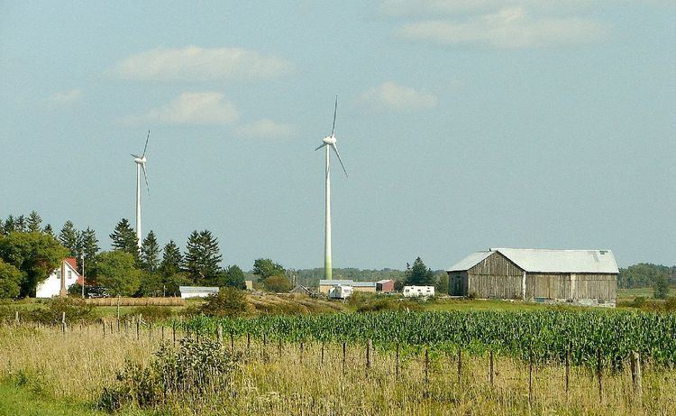
Central Manitoulin is a township in the Canadian province of Ontario. It is located on Manitoulin Island and in Manitoulin District.
Contents
Map of Central Manitoulin, ON, Canada
The primary community and administrative centre of the township is Mindemoya. Smaller communities include Big Lake, Britainville, Dryden's Corner, Gibraltar, Grimsthorpe, Long Bay, Monument Corner, Old Spring Bay, Perivale, Providence Bay, Sandfield and Spring Bay.
Notable locations
Ontario has had a few historical claimants, by towns, for housing the province's smallest jail. The main three being: Tweed, Creemore and Coboconk. However, old jailhouses in Providence Bay, Port Dalhousie, Rodney, and ghost town Berens River have proven to be even smaller. The jailhouse in Providence Bay is now a cabin for tourists to stay at.
References
Central Manitoulin Wikipedia(Text) CC BY-SA
