
- location Manning Township - location Bonar Township | - elevation 442 m (1,450 ft) - elevation 320 m (1,050 ft) | |
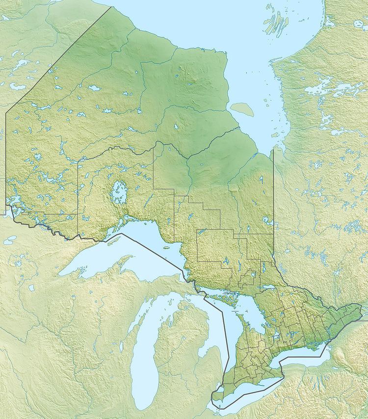 | ||
The Makonie River is a river in Sudbury District in northeastern Ontario, Canada. It is in the James Bay drainage basin, and is a left tributary of the Chapleau River.
Contents
Map of Mackenzie River, Northwest Territories, Canada
Course
The river begins in geographic Manning Township and flows northeast, passes northeast through the southeast corner of geographic Brutus Township, enters geographic Lipsett Township, and empties into Lipsett Lake. The river goes north and enters geographic Lloyd Township, heads northeast, and reaches Makonie Lake. The river flows east, enters geographic Bonar Township, heads northeast to Bonar Lake, then continues northeast and reaches its mouth at the Chapleau River. The Chapleau River flows via the Kapuskasing River, the Mattagami River and the Moose River to James Bay.
Tributaries
References
Makonie River Wikipedia(Text) CC BY-SA