
District East Climate Cwa | Time zone IST (UTC+5:30) Local time Saturday 10:37 PM | |
 | ||
Weather 14°C, Wind NW at 0 km/h, 81% Humidity | ||
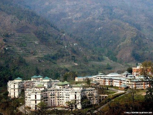
Majitar is a small village in East Sikkim in the Indian state of Sikkim. The nearest towns are Rangpo (4 kilometres (2.5 mi) away) and Singtam (7 kilometres (4.3 mi)). It is about 200 metres (660 ft) above sea level giving it a sub-tropical climate.
Contents
Map of Majitar, Sikkim
Majitar has a large population of Nepalese, Bhutia, Marwari and Bengali people. Although there are students from all over the country, mainly Bihar, Uttar Pradesh, Jharkhand and Guwahati live there at Sikkim Manipal Institute of Technology. Nepali is the predominant language but because of the presence of student from all over the country, people speak Hindi too.
Geography
Majitar is located at 27.1894°N 88.4978°E / 27.1894; 88.4978.
New Sikkim Railway Project
A rail link from Sevoke is under construction.
References
Majitar Wikipedia(Text) CC BY-SA