
Population (2010) 664,181 | Cook PVI R+2 | |
 | ||
Distribution 27.89% urban72.11% rural | ||
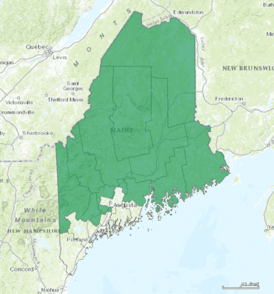
Maine's 2nd congressional district is a congressional district in the U.S. state of Maine. Covering 27,326 square miles (70,770 km2), it comprises nearly 80% of the state's total land area. It is the largest district east of the Mississippi River and the 24th-largest overall. It is the second-most rural district in the United States, with 72.11% of its population in rural areas, behind only Kentucky's 5th congressional district.
Contents
The district comprises most of the land area north of the Portland and Augusta metropolitan areas. It includes the cities of Bangor, Lewiston, Auburn and Presque Isle. It included the city of Waterville until 2011, when Maine's Congressional redistricting process following the 2010 US Census led to a shift of district boundaries within Kennebec County.
The district is currently represented by Republican Bruce Poliquin.
Election results from presidential races
Whoever wins a presidential race in Maine's second congressional district gets one electoral vote. Maine's second congressional district has voted the same way as the entire state of Maine for every election except 2016.
History
When Maine became a state in 1820, it had seven congressional districts credited to it. Prior to that it was part of Massachusetts, which had 20 districts after the 1810 U.S. Census. Since Maine became a state, all but two districts have been reallocated.
Composition
The boundaries of the District are open for reconsideration in light of population shifts revealed by the decennial US Census. Until 2011, Maine's constitution provided for the state to reapportion the Congressional districts based on census data every ten years beginning in 1983, which would have meant that the state was next due to consider redistricting in 2013. However, a federal lawsuit filed in March 2011 led to a requirement that Maine speed up its redistricting process. Maine state legislators approved new boundaries on September 27, 2011.