
Country United States County Kennebec Time zone Eastern (EST) (UTC-5) Elevation 139 m Local time Thursday 10:27 PM | State Maine Incorporated February 28, 1795 FIPS code 23-24950 Population 1,140 (2010) Area code 207 | |
 | ||
Weather -3°C, Wind NW at 14 km/h, 52% Humidity Area 81.61 km² (75.55 km² Land / 6.061 km² Water) Neighborhoods North Fayette, Richmond Mill, Fayette Corner, Sanderson Corners | ||
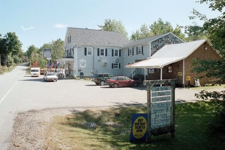
Fayette is a town in Kennebec County, Maine, United States. The population was 1,140 at the 2010 census. A popular recreation spot in central Maine, Fayette is part of the Winthrop Lakes Region.
Contents
Map of Fayette, ME 04349, USA
History
Fayette was first settled as Sterling (or Starling) Plantation in 1781, and became incorporated as the town of Fayette on February 28, 1795. Other sources state that Starling Plantation was first settled in 1779 on 7,000 acres granted by the State of Massachusetts to "Robert Paige and associates." Further publishings indicate that one Asa Wiggin laid claim to clearing the first land in Starling Plantation in the year 1779. Fayette was named for the Marquis de Lafayette, the French nobleman who offered his services to the Americans during the Revolution. Kent Burying Ground, which was built in 1880, is located in Fayette.
Geography
According to the United States Census Bureau, the town has a total area of 31.51 square miles (81.61 km2), of which, 29.17 square miles (75.55 km2) of it is land and 2.34 square miles (6.06 km2) is water. Fayette is home to 9 lakes and ponds, which are all popular sites for recreation.
2010 census
As of the census of 2010, there were 1,140 people, 491 households, and 330 families residing in the town. The population density was 39.1 inhabitants per square mile (15.1/km2). There were 813 housing units at an average density of 27.9 per square mile (10.8/km2). The racial makeup of the town was 97.6% White, 0.4% African American, 0.1% Native American, 0.5% Asian, 0.1% Pacific Islander, 0.2% from other races, and 1.1% from two or more races. Hispanic or Latino of any race were 0.8% of the population.
There were 491 households of which 24.6% had children under the age of 18 living with them, 57.2% were married couples living together, 7.1% had a female householder with no husband present, 2.9% had a male householder with no wife present, and 32.8% were non-families. 25.1% of all households were made up of individuals and 9% had someone living alone who was 65 years of age or older. The average household size was 2.32 and the average family size was 2.75.
The median age in the town was 48 years. 18.2% of residents were under the age of 18; 4.9% were between the ages of 18 and 24; 21.1% were from 25 to 44; 40.6% were from 45 to 64; and 15.2% were 65 years of age or older. The gender makeup of the town was 49.1% male and 50.9% female.
2000 census
As of the census of 2000, there were 1,040 people, 417 households, and 296 families residing in the town. The population density was 35.6 people per square mile (13.8/km²). There were 690 housing units at an average density of 23.6 per square mile (9.1/km²). The racial makeup of the town was 98.46% White, 0.10% Native American, 0.58% Asian, 0.19% from other races, and 0.67% from two or more races. Hispanic or Latino of any race were 0.38% of the population.
There were 417 households out of which 32.9% had children under the age of 18 living with them, 61.9% were married couples living together, 6.2% had a female householder with no husband present, and 28.8% were non-families. 21.1% of all households were made up of individuals and 6.2% had someone living alone who was 65 years of age or older. The average household size was 2.49 and the average family size was 2.92.
In the town, the population was spread out with 24.4% under the age of 18, 4.9% from 18 to 24, 29.8% from 25 to 44, 29.8% from 45 to 64, and 11.1% who were 65 years of age or older. The median age was 40 years. For every 100 females there were 101.2 males. For every 100 females age 18 and over, there were 99.0 males.
The median income for a household in the town was $40,000, and the median income for a family was $46,500. Males had a median income of $37,321 versus $23,750 for females. The per capita income for the town was $17,903. About 5.4% of families and 9.4% of the population were below the poverty line, including 14.3% of those under age 18 and 8.1% of those age 65 or over.
Education
Fayette Central School is located in Fayette. Michael Cormier is the Superintendent of Schools. Fayette Central School received an A in Governor Lepage's Maine DOE Report Cards in 2014. Children who live in Fayette attend Fayette Central School through grade 5 and are sent to either Spruce Mountain, Winthrop, or Maranacook school districts on tuition for secondary education.