
- elevation 152 m (499 ft) Basin area 1,900 km² | - elevation 208 m (682 ft) Length 32 km Basin area 1,900 km² Province Québec | |
 | ||
- right Black Brook, Nick Brook, Dodds Brook - location Sherbrooke, Estrie, Quebec, Canada | ||
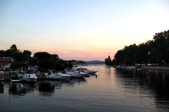
The Magog River is a river that drains Lake Memphremagog. In turn, the river drains into the Saint-François River.
Map of Magog River, Sherbrooke, QC, Canada
The cities of Sherbrooke and Magog, Quebec, lie on the Magog River.
Engineers from the Université de Sherbrooke have constructed a plastic bridge on the river.
References
Magog River Wikipedia(Text) CC BY-SA