
Existed: 1967 – present Length 42.6 km | History: Constructed 1967–79 Constructed 1967 | |
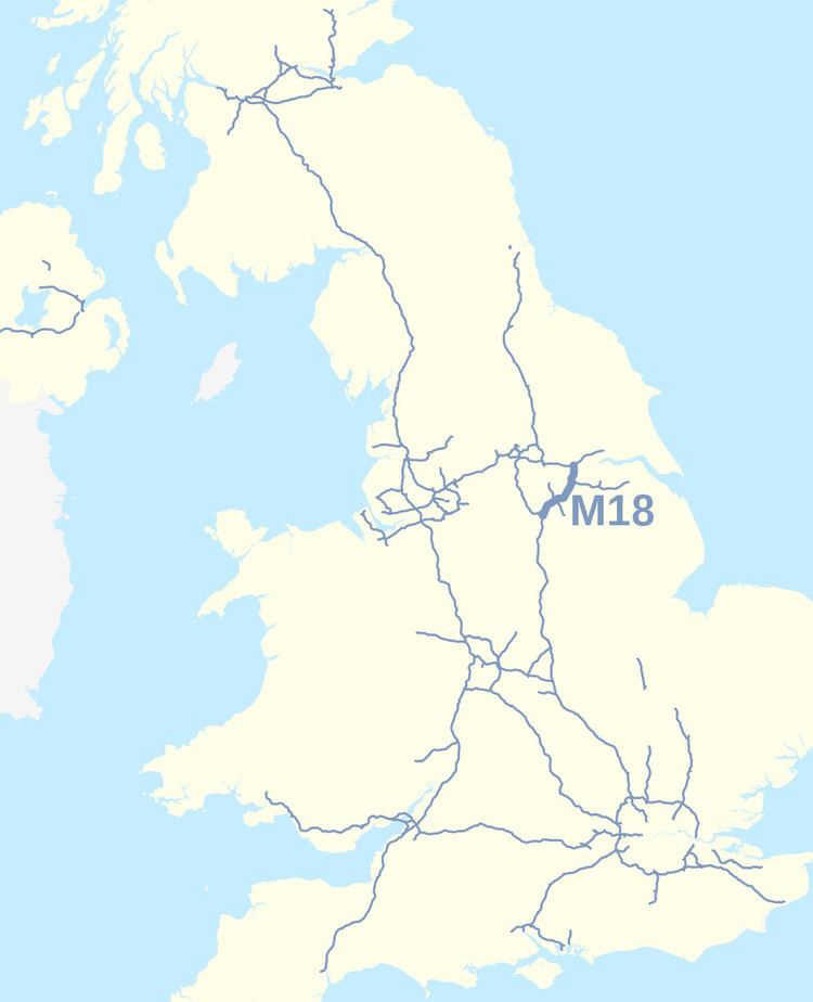 | ||
The M18 is a motorway in Yorkshire, England. It runs from the east of Rotherham to Goole and is approximately 26 miles (42 km) long. A section of the road forms part of the unsigned Euroroute E13.
Contents
- Map of M18 Rotherham S66 UK
- Route
- Finningley and Rossington Regeneration Route Scheme
- History
- Junctions
- References
Map of M18, Rotherham S66, UK
Route
The M18 runs in a north east/south west direction from junction 32 of the M1 motorway to junction 35 of the M62 motorway. It passes east of Rotherham, southeast of Doncaster and Armthorpe, and west of Thorne. It meets the A1(M) at junction 2 (A1(M) junction 35)--known as the Wadworth Interchange—and the M180 motorway at junction 5. Access to Doncaster is provided from junctions 3 (A6182) and 4 (A630)
Much of the M18 is a two lane dual carriageway, and carries relatively low volumes of traffic. However, the section linking the M1 and A1(M) is much busier and has three lanes in each direction. It then passes over the Wadworth Viaduct. To the north it then crosses the East Coast Main Line, and until its closure and the dismantling of the pit head gear, a large colliery could be seen to the south at Rossington.
Finningley and Rossington Regeneration Route Scheme
The Finningley and Rossington Regeneration Route Scheme (FARRRS) is a new road scheme which runs from the M18 at Junction 3 to Robin Hood Airport, improving access primarily to the Airport but also to Rossington and the new Doncaster iPort. Work started in 2013 and the road became operational in February 2016.
The road runs, at first as a dual carriageway and then as single carriageway from the M18 junction 3 to Parrots Corner and the A638, where it terminates and travellers need to follow existing roads (A638 and Hurst Lane) to the airport itself.
In order to provide better access to FARRRS and Doncaster town centre, a section of the M18 between junction 2 (A1(M)) and junction 3 (A6182) northbound was upgraded to 3 lanes, between 20 June 2014 and 12 June 2015.
History
The M18 was originally to be part of the M1, but it was decided to route the M1 towards Leeds instead of Doncaster, and the routing of what would have been the M1 east of Sheffield became the M18.
Junctions
Data from driver location signs are used to provide distance and carriageway identifier information. The location sequence is a continuation of the M1 location sequence.