
Time zone CET (UTC+1) Area 36.9 km² Postal code 39010 Dialling code 0471 | Dialing code 0471 Local time Thursday 6:16 PM | |
 | ||
Frazioni Schlaneid (Salonetto), Verschneid (Frassineto), Versein (Vallesina) Weather 8°C, Wind SE at 6 km/h, 66% Humidity Region Trentino-Alto Adige/South Tyrol | ||
S dtirol m lten
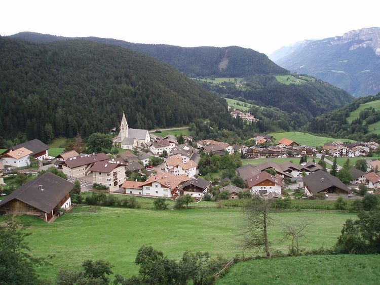
Mölten ( [ˈmœltn̩]; Italian: Meltina [ˈmɛltina]) is a comune (municipality) in South Tyrol in northern Italy, located about 12 kilometres (7 mi) northwest of Bolzano.
Contents
- S dtirol m lten
- Map of 39010 Meltina Province of Bolzano South Tyrol Italy
- Doctagreat terlan nach m lten hoch pos 1
- Geography
- Coat of arms
- Linguistic distribution
- References
Map of 39010 Meltina Province of Bolzano - South Tyrol, Italy
Doctagreat terlan nach m lten hoch pos 1
Geography
As of 30 November 2010, it had a population of 1,622 and an area of 36.9 square kilometres (14.2 sq mi).
The municipality of Mölten contains the frazioni (subdivisions, mainly villages and hamlets) Schlaneid (Salonetto), Verschneid (Frassineto), and Versein (Vallesina).
Mölten borders the following municipalities: Gargazon, Burgstall, Jenesien, Sarntal, Terlan and Vöran.
Coat-of-arms
The emblem is a pot with three feet and an or handle, from which emerge three lilies with vert stems on gules. The sign is based on that of the Hafner family, who lived in the village, which was granted by Duke Ferdinand in 1523. The emblem was adopted in 1969.
Linguistic distribution
According to the 2011 census, 96.11% of the population speak German, 3.57% Italian and 0.31% Ladin as first language.