
Elevation 1,000 m (3,000 ft) Area 69 km² Postal code 39050 Dialling code 0471 | Time zone CET (UTC+1) Local time Friday 11:02 PM | |
 | ||
Frazioni Afing (Avigna), Flaas (Valas), Glaning (Cologna), Nobls (Montoppio) Weather 7°C, Wind NE at 6 km/h, 19% Humidity Region Trentino-Alto Adige/South Tyrol | ||
Urlaubsparadies jenesien s dtirol
Jenesien ( [jeˈnesɪən]; Italian: San Genesio Atesino [san dʒeˈnɛːzjo ateˈziːno]) is a comune (municipality) in the province of South Tyrol in northern Italy, located about 4 kilometres (2.5 mi) northwest of the city of Bolzano.
Contents
- Urlaubsparadies jenesien s dtirol
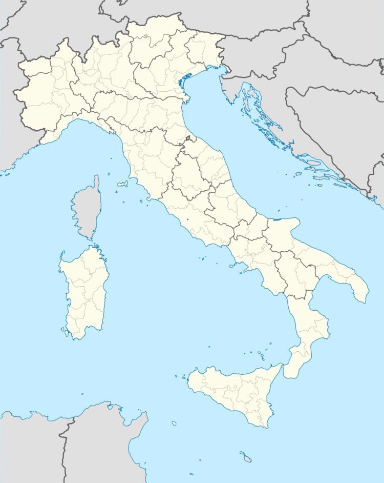
- Map of 39050 San Genesio Atesino Province of Bolzano South Tyrol Italy
- Jenesien land und leute rai sender bozen
- Geography
- Frazioni
- Coat of arms
- Linguistic distribution
- Twin towns
- References
Map of 39050 San Genesio Atesino Province of Bolzano - South Tyrol, Italy
Jenesien land und leute rai sender bozen
Geography
As of 30 November 2010, it had a population of 2,952 and an area of 69.0 square kilometres (26.6 sq mi).
Jenesien borders the following municipalities: Bolzano, Mölten, Ritten, Sarntal, and Terlan.
Frazioni
The municipality of Jenesien contains the frazioni (subdivisions, mainly villages and hamlets) Afing (Avigna), Flaas (Valas), Glaning (Cologna) and Nobls (Montoppio).
Coat-of-arms
The emblem is argent party per bend and five piles of gules, coming out of the diagonal division. It is the insignia of the Lords of Goldegg who lived in the village from 1190 to 1473. The emblem was adopted in 1966.
Linguistic distribution
According to the 2011 census, 97.79% of the population speak German, 3.07% Italian and 0.14% Ladin as first language.
Twin towns
Jenesien is twinned with: