
Population 6,772 (2011 census) Postal code 3975 | Postcode(s) 3975 Mean max temp Mean min temp | |
 | ||
State electorate(s) CranbourneNarre Warren South | ||
Lynbrook is a suburb in Melbourne, Victoria, Australia, 36 km south-east from Melbourne's central business district. Its local government area is the City of Casey. At the 2011 Census, Lynbrook had a population of 6,772.
Contents
Map of Lynbrook VIC 3975, Australia
Lynbrook is positioned on the South Gippsland Highway, slightly north-west of Cranbourne, and just south of the residential suburb of Hampton Park. Lynbrook is bounded by Dandenong Hastings Road in the west, the South Gippsland Freeway in the north, by a line north of Merinda Park railway station in the east, and the railway line in the south.
The suburb was developed by VicUrban, starting in 1994. A special feature of the VicUrban development is the stormwater catchment which flows into the lake and wetlands where it is purified before being released into Dandenong Creek and into Port Phillip Bay.
Prior to 1994, the area now occupied by Lynbrook was part of Lyndhurst.
Facilities
Lynbrook Primary School opened in January 2005 with an initial enrolment of 175 students, and 937 students in 2013. A new Catholic primary school, St Francis de Sales Primary School, opened in 2010 on the corner of Aylmer Rd and Henning Ave.
A maternal and child health centre was constructed by Casey Council and opened in early 2006. This centre also includes a pre-school kindergarten for the growing number of children in the area.
Banjo Paterson Park, a large recreation reserve, has many paths for walking and cycling, a barbecue area, a large children's playground, open spaces and a football / cricket oval. The oval is home to the "Lynbrook Lakers" cricket team which fields a number of adult and children's cricket teams in the local DDCA league, where the 1st XI has won the premiership for the last 3 years straight (2006/07, 2007/08, 2008/09). A new oval has been constructed, complete with clubroom facilities, which the club will be using from the commencement of the 2009/10 season.
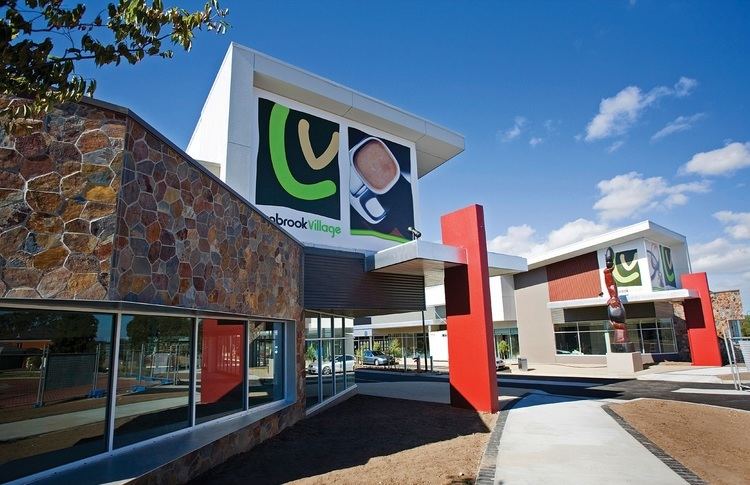
On the corner of South Gippsland Highway and Lynbrook Boulevard is a small shopping centre complex owned and operated by Coles Myer since opening in March 2007. Lynbrook Village features a 3,700 square metre Coles Supermarket and Liquor outlet along with 33 speciality stores including First National Real Estate Reliance, and a free standing building, previously occupied by Red Rooster, then Souvlaki Hut, and is now occupied by Suburban Burger.
On 22 April 2012, the Lynbrook railway station opened on the Cranbourne line. It is located north of Aylmer Road.
On 30 May 2015, the Lynbrook Community Centre opened. This is a multipurpose community facility which abuts the local shopping centre