
Area 4,536 km² | Website Official website | |
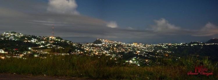 | ||
Iay in lunglei district mizoram
Lunglei district is one of the eight districts of Mizoram state in India. As of 2011 it is the second most populous district in the state, after Aizawl.
Contents
- Iay in lunglei district mizoram
- Map of Lunglei Mizoram
- Toponymy
- Geography
- Divisions
- Demographics
- References
Map of Lunglei, Mizoram
Toponymy
The district is named after its headquarters, Lunglei. Lunglei, sometimes spelled Lungleh, in Mizo means a bridge of rock. It derived its name from a bridge like rock found in the riverine area around the Nghasih, a small tributary of the river Tlawng.
Geography
The district is bounded on the north by Mamit and Aizawl districts, on the west by Bangladesh, on the south by Lawngtlai district, on the southeast by Saiha district, on the east by Myanmar and on the northeast by Serchhip District. The district occupies an area of 4538 km². Lunglei town is the administrative headquarters of the district.
Divisions
The district has 3 Subdivision Hnahthial, Lunglei and Tlabung. The district has 7 assembly constituencies. These are South Tuipui, Lunglei North, Lunglei East, Lunglei West, Lunglei South, Thorang and West Tuipui.
Demographics
According to the 2011 census Lunglei district has a population of 154,094, roughly equal to the nation of Saint Lucia. This gives it a ranking of 597th in India (out of a total of 640). The district has a population density of 36 inhabitants per square kilometre (93/sq mi). Its population growth rate over the decade 2001-2011 was 17.64%. Lunglei has a sex ratio of 947 females for every 1000 males, and a literacy rate of 88.86%.