
ISO 3166 code AO-LUA | Website www.luanda.gov.ao | |
 | ||
Luanda is a province of Angola. It has an area of 2,417 square kilometres (933 sq mi) and a population of 6,542,942 in 2014. Luanda is the capital of the province and the country of Angola. Despite this, the city occupies 113 square kilometres (44 sq mi), or less than five percent of the total area of the province. In 2011 Luanda Province was subdivided into seven municipalities, namely, Luanda, Belas, Cacuaco, Cazenga, Icolo e Bengo, Quiçama and Viana. These are again subdivided into 47 Communes (Comunas). The new reform of 2011 moved the municipalities Icolo e Bengo and Quiçama from Bengo to Luanda Province. The administrative reform significantly increased the land area of Luanda Province. Governors of the Luanda Province have included: Francisca Espírito Santo (c. 2009-2010), Jose Maria dos Santos (c. 2011-2013), and Graciano Francisco Domingos (c. 2014).
Contents
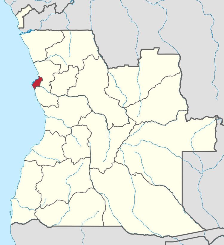
Map of Luanda Province, Angola
The province has created the Instituto de Planeamento e Gestão Urbana de Luanda (IPGUL, Institute for urban planning and management of Luanda) as an independent organ for urban planning of the province.
The original Luanda Province grew in size during the 20th century due to the urbanization of Angola. It was divided into the provinces of Luanda and Bengo in 1980.