
Area 12,046 km² | Time zone WAT (UTC+1) Local time Tuesday 8:07 PM | |
 | ||
Weather 26°C, Wind W at 8 km/h, 94% Humidity | ||
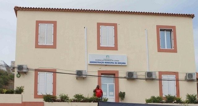
Quiçama (Portuguese spelling), Kissama or Kisama (Bantu spelling) is one of the seven municípios (city council or municipality) that make up the province of Luanda, as per the new administrative division of the province (the others being, Luanda, Belas, Cazenga, Cacuaco, Viana and Icolo e Bengo). It covers an area of 12,046 square kilometres (4,651 sq mi) and its estimated population as of 2006 is 29,905 inhabitants. The municipal seat is the village of Muxima.
Contents
Map of Quicama, Angola
Quiçama is bordered to the north by the municipalities of Viana and Icolo e Bengo, to the east by the municipalities of Cambambe, Libolo and Quibala, to the south by the municipalities of Quilenda and Porto Amboim, and to the west by the Atlantic Ocean.
Part of the municipality is occupied by the Quiçama National Park (Portuguese: Parque Nacional da Quiçama).
Administrative division
The municipality of Quiçama is made up of four comunas (communes), as follows: