Airport type Public 13/31 3,781 Elevation 407 m | Owner City of Longville Elevation AMSL 1,334 ft / 407 m 3,781 1,152 Phone +1 218-363-2022 | |
 | ||
Address 5220 MN-84, Longville, MN 56655, USA Similar Grand Rapids Vet Clinic, Bill Hansen Realty, Moran Realty, RE/MAX Lakes Area Realty ‑ L, Pine Cone Press‑Citi | ||
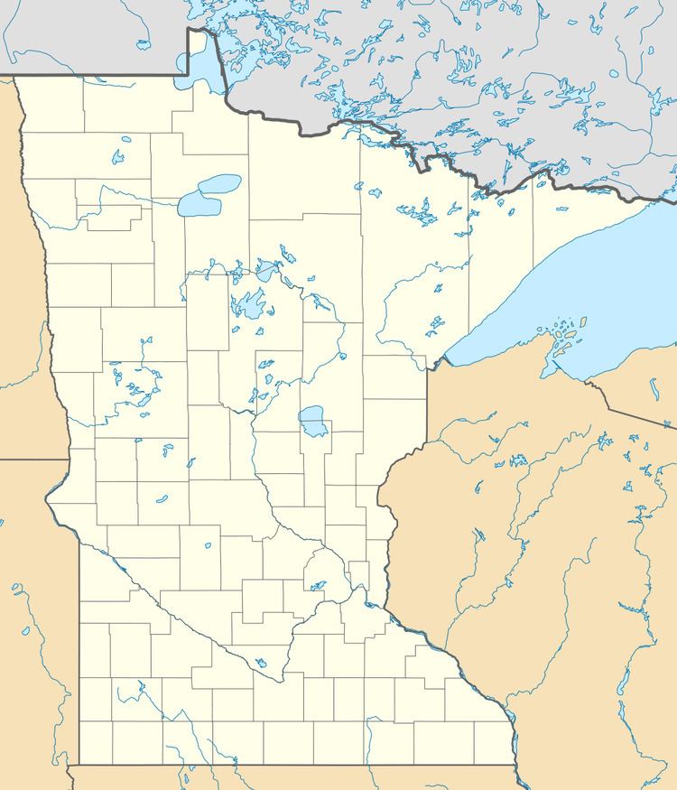
Longville Municipal Airport (ICAO: KXVG, FAA LID: XVG) is a city owned public use airport located one nautical mile (1.85 km) northeast of the central business district of Longville, a city in Cass County, Minnesota, United States.
Although most U.S. airports use the same three-letter location identifier for the FAA and IATA, this airport is assigned XVG by the FAA but has no designation from the IATA.
Facilities and aircraft
Longville Municipal Airport covers an area of 55 acres (22 ha) at an elevation of 1,334 feet (407 m) above mean sea level. It has one runway designated 13/31 with an asphalt surface measuring 3,781 by 75 feet (1,152 x 23 m).
For the 12-month period ending August 31, 2005, the airport had 6,725 aircraft operations, an average of 18 per day: 99.6% general aviation and 0.4% air taxi. At that time there were 8 aircraft based at this airport: 87.5% single-engine and 12.5% multi-engine.
