
Country United States County Jackson Elevation 332 m Local time Friday 9:54 PM | State Kansas GNIS feature ID 0478183 Area 254.7 km² Population 1,046 (2000) | |
 | ||
Weather 13°C, Wind NW at 10 km/h, 44% Humidity | ||
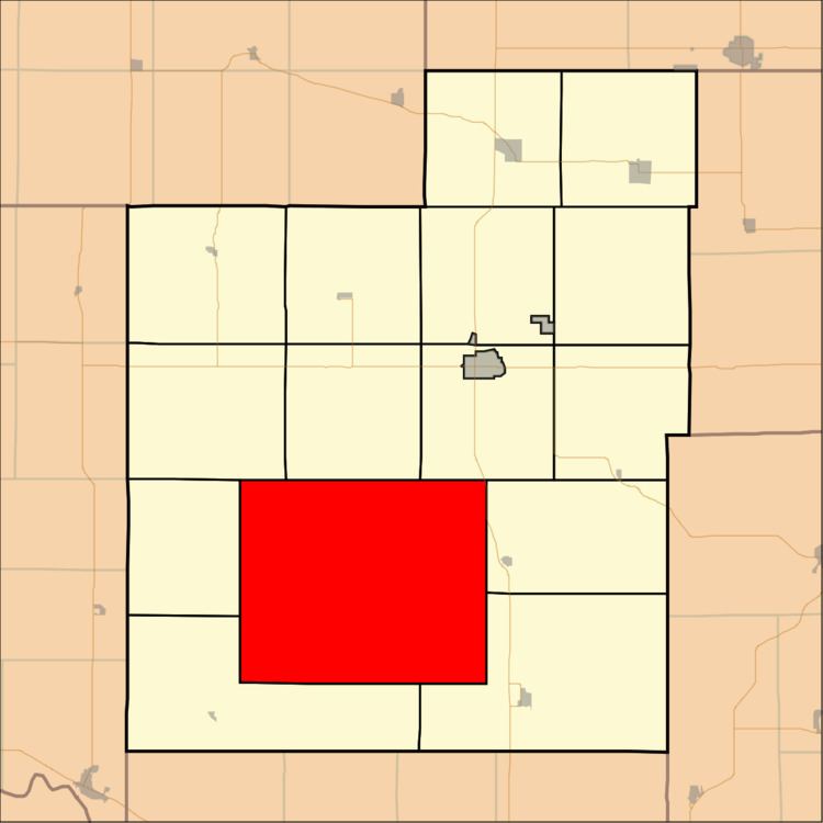
Lincoln Township is a township in Jackson County, Kansas, USA. As of the 2000 census, its population was 1,046. The township is located entirely within the Prairie Band Potawatomi Indian Reservation.
Contents
Map of Lincoln, KS, USA
Geography
Lincoln Township covers an area of 98.35 square miles (254.73 square kilometers); of this, 0.04 square miles (0.12 square kilometers) or 0.05 percent is water. The streams of Big Elm Creek, Crow Creek, Little Elm Creek and South Branch Soldier Creek run through this township.
Adjacent townships
Cemeteries
The township contains three cemeteries: Danceground, Mitchell and Shipsee.
Major highways
References
Lincoln Township, Jackson County, Kansas Wikipedia(Text) CC BY-SA