
Country United States Elevation 361 m Local time Saturday 8:20 AM | GNIS feature ID 1729694 Area 108.8 km² Population 212 (2000) | |
 | ||
Weather 3°C, Wind N at 6 km/h, 65% Humidity | ||
Grant Township is a township in Jackson County, Kansas, USA. As of the 2000 census, its population was 212. The southeasternmost part of the township is located within the Prairie Band Potawatomi Indian Reservation.
Contents
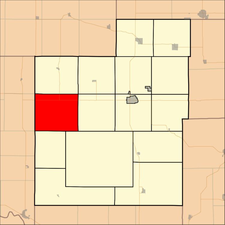
Map of Grant, KS, USA
History
Grant Township was formed in 1870.
Geography
Grant Township covers an area of 42 square miles (108.77 square kilometers); of this, 0.04 square miles (0.11 square kilometers) or 0.1 percent is water.
Adjacent townships
Cemeteries
The township contains two cemeteries: Boan and Olive Hill.
Major highways
References
Grant Township, Jackson County, Kansas Wikipedia(Text) CC BY-SA