
Country United States Elevation 395 m Local time Wednesday 7:41 PM | GNIS feature ID 0478185 Area 93.28 km² Population 300 (2000) | |
 | ||
Weather 3°C, Wind NW at 10 km/h, 43% Humidity | ||
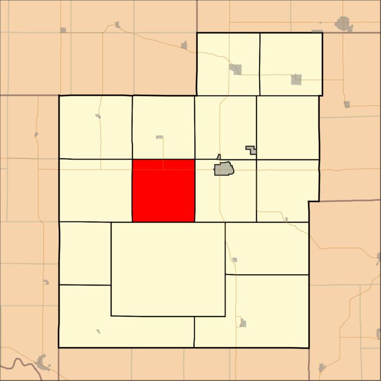
Banner Township is a township in Jackson County, Kansas, USA. As of the 2000 census, its population was 300. The southernmost part of the township is located within the Prairie Band Potawatomi Indian Reservation.
Contents
Map of Banner, KS, USA
Geography
Banner Township covers an area of 36.02 square miles (93.28 square kilometers); of this, 0.25 square miles (0.65 square kilometers) or 0.7 percent is water.
Adjacent townships
Cemeteries
The township contains one cemetery, Hass.
Major highways
References
Banner Township, Jackson County, Kansas Wikipedia(Text) CC BY-SA