
GNIS feature ID 0467399 Area 93.2 km² Local time Wednesday 12:24 PM | Time zone CST (UTC-6) Elevation 380 m Zip code 50514 Population 1,192 (2000) | |
 | ||
Weather 2°C, Wind NW at 32 km/h, 73% Humidity | ||
Armstrong Grove Township is one of twelve townships in Emmet County, Iowa, USA. As of the 2000 census, its population was 1,192.
Contents
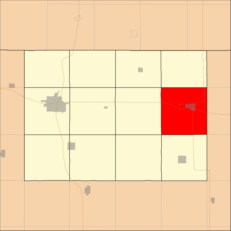
- Map of Armstrong Grove IA USA
- History
- Geography
- Cities towns villages
- Unincorporated towns
- Adjacent townships
- Cemeteries
- Major highways
- School districts
- Political districts
- References
Map of Armstrong Grove, IA, USA
History
Armstrong Grove is named for the early settler Armstrong who in the year 1856 claimed 160 acres (65 ha) of land in a grove on the Des Moines River.
Geography
According to the United States Census Bureau, Armstrong Grove Township covers an area of 36.45 square miles (94.41 square kilometers).
Cities, towns, villages
Unincorporated towns
(This list is based on USGS data and may include former settlements.)
Adjacent townships
Cemeteries
The township contains these three cemeteries: Armstrong Grove, Mount Calvary and Saint Marys Catholic.
Major highways
School districts
Political districts
References
Armstrong Grove Township, Emmet County, Iowa Wikipedia(Text) CC BY-SA