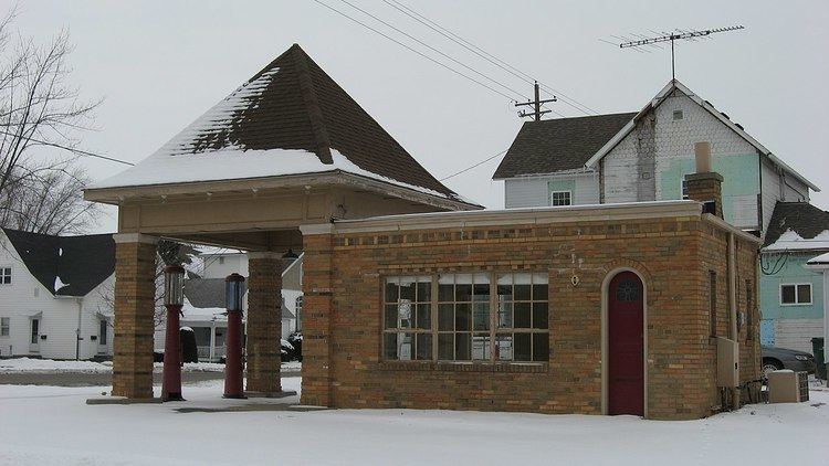
Country United States County Howard Elevation 260 m Local time Thursday 10:36 PM | GNIS feature ID 0453557 Area 82.28 km² Population 4,862 (2010) | |
 | ||
Weather -2°C, Wind SE at 6 km/h, 70% Humidity | ||
Liberty Township is one of eleven townships in Howard County, Indiana, United States. As of the 2010 census, its population was 4,862 and it contained 2,042 housing units. Liberty Township hosts the Howard County fair each year in July in Greentown, which is the second biggest town in Howard County, and third biggest in the Kokomo Metropolitan Area after only Kokomo, and Tipton.
Contents
- Map of Liberty Township IN USA
- History
- Geography
- Cities and towns
- Unincorporated towns
- Adjacent townships
- Major highways
- Cemeteries
- Libraries
- Schools
- Business
- Medical
- References
Map of Liberty Township, IN, USA
History
Liberty Township was founded in 1858.
Geography
According to the 2010 census, the township has a total area of 31.77 square miles (82.3 km2), of which 31.53 square miles (81.7 km2) (or 99.24%) is land and 0.24 square miles (0.62 km2) (or 0.76%) is water.
Cities and towns
Unincorporated towns
Adjacent townships
Major highways
Cemeteries
The township contains five cemeteries: Freeman, Greenlawn, Hochstedler, Mast and Shrock. Lamb Cemetery, Lindley Cemetery
Libraries
Schools
Business
Medical
References
Liberty Township, Howard County, Indiana Wikipedia(Text) CC BY-SA
