
Country United States Elevation 250 m Local time Wednesday 2:14 PM | GNIS feature ID 0453419 Area 77.83 km² Population 2,579 (2010) | |
 | ||
Weather -2°C, Wind NW at 29 km/h, 65% Humidity | ||
Howard Township is one of eleven townships in Howard County, Indiana, United States. As of the 2010 census, its population was 2,579 and it contained 1,072 housing units.
Contents
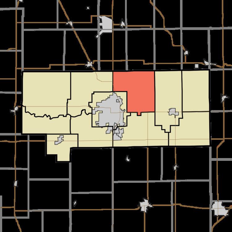
- Map of Howard Township IN USA
- History
- Geography
- Unincorporated towns
- Adjacent townships
- Cemeteries
- Major highways
- Airports and landing strips
- References
Map of Howard Township, IN, USA
History
Howard Township and Howard County are both named for Tilghman Howard, an Indiana congressman.
Geography
According to the 2010 census, the township has a total area of 30.05 square miles (77.8 km2), of which 29.65 square miles (76.8 km2) (or 98.67%) is land and 0.4 square miles (1.0 km2) (or 1.33%) is water.
Unincorporated towns
Adjacent townships
Cemeteries
The township contains three cemeteries: Hopewell, Hudson and Salem.
Major highways
Airports and landing strips
References
Howard Township, Howard County, Indiana Wikipedia(Text) CC BY-SA