
Country United States Elevation 207 m Local time Thursday 11:21 AM | GNIS feature ID 453632 Area 165.6 km² Population 3,282 (2010) | |
 | ||
ZIP codes 46996, 47946, 47959, 47960, 47978 Weather -1°C, Wind W at 13 km/h, 51% Humidity | ||
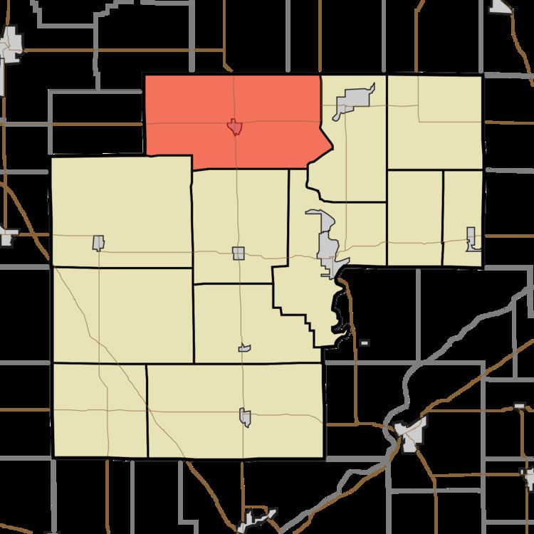
Monon Township is one of twelve townships in White County, Indiana, United States. As of the 2010 census, its population was 3,282 and it contained 2,032 housing units.
Contents
- Map of Monon Township IN USA
- Geography
- Cities towns villages
- Unincorporated towns
- Adjacent townships
- Cemeteries
- Airports and landing strips
- Landmarks
- School districts
- Political districts
- References
Map of Monon Township, IN, USA
Monon Township was established in 1836, and named after Big Monon Creek.
Geography
According to the 2010 census, the township has a total area of 63.94 square miles (165.6 km2), of which 63.42 square miles (164.3 km2) (or 99.19%) is land and 0.51 square miles (1.3 km2) (or 0.80%) is water.
Cities, towns, villages
Unincorporated towns
(This list is based on USGS data and may include former settlements.)
Adjacent townships
Cemeteries
The township contains these three cemeteries: Bedford, Monon and Wilson.
Airports and landing strips
Landmarks
School districts
Political districts
References
Monon Township, White County, Indiana Wikipedia(Text) CC BY-SA