
Elevation 263 m Zip code 46036 Population 548 (2010) | GNIS feature ID 0453267 Area 62.11 km² Local time Tuesday 11:09 AM | |
 | ||
Weather 12°C, Wind SW at 29 km/h, 85% Humidity | ||
Duck Creek Township is one of fourteen townships in Madison County, Indiana, United States. As of the 2010 census, its population was 548 and it contained 240 housing units.
Contents
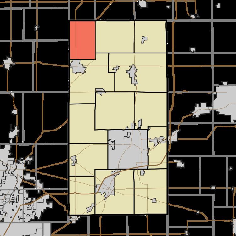
- Map of Duck Creek Township IN 46036 USA
- History
- Geography
- Cities towns villages
- Unincorporated towns
- Cemeteries
- Major highways
- School districts
- Political districts
- References
Map of Duck Creek Township, IN 46036, USA
History
Duck Creek Township was organized in 1852. It takes its name from a stream in the southeastern part.
Geography
According to the 2010 census, the township has a total area of 23.98 square miles (62.1 km2), all land.
Cities, towns, villages
Unincorporated towns
(This list is based on USGS data and may include former settlements.)
Cemeteries
The township contains Waymire Cemetery.
Major highways
School districts
Political districts
References
Duck Creek Township, Madison County, Indiana Wikipedia(Text) CC BY-SA