
County Butler FIPS code 39-43050 Elevation 229 m Population 37,259 (2010) | Time zone Eastern (EST) (UTC-5) GNIS feature ID 1085812 Area 75.8 km² Local time Thursday 10:31 PM | |
 | ||
Weather -1°C, Wind E at 0 km/h, 53% Humidity Points of interest Fort Liberty Playland, Dudley Woods Metro Park, Wetlands Park East, Maud Hughes Incline | ||
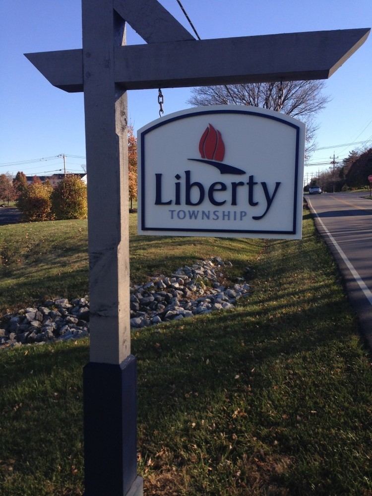
Liberty Township, one of thirteen townships in Butler County, Ohio, United States, is in the east-central part of the county, just south of the city of Monroe. With an area of about 29 square miles (75 km2) it is smallest of the thirteen townships but one of the fastest growing areas in southwest Ohio, having a population of 37,259 at the 2010 census, up from 22,819 in 2000 and just 9,249 in 1990. It was named for Liberty, Pennsylvania, at the suggestion of John Morrow, a resident in the township at the time of its formation in 1803 who was the brother of Ohio Governor Jeremiah Morrow, after his hometown. The first settler was John Nelson, who arrived in 1796, seven years before Ohio became a state. It is one of 25 Liberty Townships statewide.
Contents
- Map of Liberty Township OH USA
- History and geography
- Government
- Transportation utilities and schools
- Notable People
- Historic population figures
- References
Map of Liberty Township, OH, USA
The northeast corner of the township is part of the city of Monroe, the sole municipality in Liberty Township. Unincorporated places are Bethany, Four Bridges, Hughes Station, Kyles Station, Jericho, and Princeton.
History and geography
One of the original five townships of the county, it was erected by the Butler County Court of Quarter Sessions on May 7, 1810, with these boundaries:
Beginning at the southeast corner of section No. 14 of the second township in the second entire range on the south boundary line of the county: thence north to the Great Miami; thence northeastwardly up the Miami to the northern boundar of fractional section No. 10 of the second township in the third of military range; thence east to the eastern boundary of the county; thence south with the eastern boundary of the county to the southeast corner thereof; thence west with the southern boundary of the county to the place of beginning.The original boundaries included what is now West Chester Township, which was separated from Liberty Township by the Butler County Commissioners on June 2, 1823. Today, the township is located in the eastern part of the county and borders the following townships:
Government
The township is governed by a three-member board of trustees, who are elected in November of odd-numbered years to a four-year term beginning on the following January 1. Two are elected in the year after the presidential election and one is elected in the year before it. There is also an elected township fiscal officer, who serves a four-year term beginning on April 1 of the year after the election, which is held in November of the year before the presidential election. Vacancies in the fiscal officership or on the board of trustees are filled by the remaining trustees. Day-to-day functions are overseen by a township administrator, hired by the trustees, who typically has an assistant, also approved by the trustees. Politically, Liberty Township leans heavily toward the Republican Party. In the 2004 presidential election, George W. Bush carried the township with over 80% of the vote. Most of the Township lies in Ohio's 8th congressional district which elected John Boehner as their Representative until he resigned in October 2015.
Transportation, utilities, and schools
The Miami and Erie Canal passed through the northwest corner of the township. The Dayton Short Line, now the Norfolk Southern, ran through the township.
The old Cincinnati and Dayton Turnpike, later known as Dixie Highway and U.S. Route 25, is now Cincinnati-Dayton Road. It connects the township to Monroe to the north and Sharonville to the south. Major highways today include the Butler County Veterans Highway (also known as State Route 129), which connects Interstate 75 to Hamilton through the southern tier of the township, and State Route 4, which links Hamilton to Middletown. I-75 runs through the eastern edge of the township with direct access to Liberty Township at Liberty Way (Exit 24), plus at two exits along the Butler County Veterans Highway (State Route 129).
Most of the township is in Cincinnati Bell's Bethany (West Chester) telephone exchange, but a part in the west and southwest centered on Princeton is in Cincinnati Bell's Hamilton exchange. Electric and natural gas service is provided by Duke Energy.
Most of the township is served by the Middletown post office, with the Hamilton post offices serving a large area in the west. Areas on the margins of the township are served by several other post offices: West Chester in the south, Fairfield in the southwest, Lebanon on the east, and Monroe on the north. The lack of their own post office and ZIP code has recently become an issue of debate amongst residents, who feel that since West Chester has its own ZIP code and post office, Liberty should have one as well - particularly since West Chester grew out of Liberty.
Except for the northeast corner, the entire township is in the Lakota Local School District. The remainder in the northeast is in the Monroe Local School District.