
County Butler FIPS code 39-46340 Elevation 221 m Population 8,448 (2010) | Time zone Eastern (EST) (UTC-5) GNIS feature ID 1085813 Local time Friday 12:16 PM | |
 | ||
Weather 2°C, Wind SE at 10 km/h, 75% Humidity Area 93.5 km² (92.72 km² Land / 104 ha Water) | ||
Madison Township is one of thirteen townships in Butler County, Ohio, United States. Located in northeastern Butler County just west of Middletown, it had a population of 8,448 people as of the 2010 census, down from 8,611 in 2000. While it surrounds the city of Trenton, the city is no longer part of the township. It is named for James Madison, president of the United States at the time of its creation in 1810, and is one of twenty Madison Townships statewide.
Contents
- Map of Madison Township OH USA
- Geography
- History
- Historic population figures
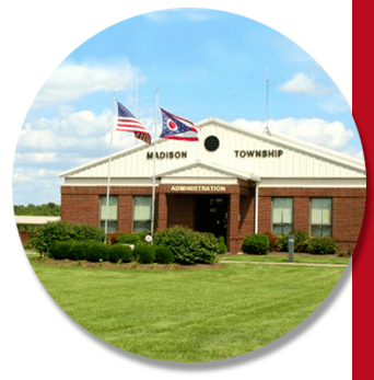
- Government
- Public services
- References
Map of Madison Township, OH, USA
Geography
The township is in what is commonly known as the Congress Lands, that part of Ohio surveyed under the regular U.S. government survey. It originally consisted of 32 whole and 19 fractional sections.
Located in the northeastern corner of the county, it borders the following townships:
It is the only county township to border Montgomery County.
Within Madison Township are located several unincorporated communities:
History
The township, the ninth in order of creation, was erected from Lemon Township by the Butler County Commissioners on May 7, 1810, following a petition by residents of the district. Its boundaries were:
Beginning on the west bank of the Miami at the southwest corner of township No. 1 of the fourth range; thence north with the western boundary line of the said fourth range to the boundary line of the said county of Butler; thence east with the said northern boundary line to the Miami; thence south and southwardly with the meanders of the Miami to the place of the meanders of the Miami to the place of beginning.The first election for township officers was on May 19, 1810.
Historic population figures
Government
The township is governed by a three-member board of trustees, who are elected in November of odd-numbered years to a four-year term beginning on the following January 1. Two are elected in the year after the presidential election and one is elected in the year before it. There is also an elected township fiscal officer, who serves a four-year term beginning on April 1 of the year after the election, which is held in November of the year before the presidential election. Vacancies in the fiscal officership or on the board of trustees are filled by the remaining trustees.
Public services
The major roads are State Routes 4 (a main road from Cincinnati to Dayton via Middletown), 122 (which links Lebanon to Middletown), and 744.
The township is in the Madison Local School District and the Edgewood Local School District.