
Postal code 220 02 Elevation 860 m | Time zone EET (UTC+2) Vehicle registration TP Local time Thursday 4:32 PM Area code 27960 Regional unit Arcadia | |
 | ||
Weather 8°C, Wind E at 6 km/h, 62% Humidity | ||
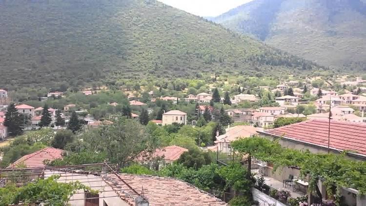
Levidi (Greek: Λεβίδι) is a small town and a former municipality in Arcadia, Peloponnese, Greece. Since the 2011 local government reform it is part of the municipality Tripoli, of which it is a municipal unit. The municipal unit has an area of 312.641 km2. The town is situated on the northeastern slope of the Mainalo mountains, at about 850 m elevation. While the Mainalo is densely forested, the plains towards the northeast contain farmlands. Levidi is 9 km northwest of Kapsas, 10 km east of Vytina, 12 km southwest of Kandila and 20 km northwest of Tripoli. It is at the junction of the Greek National Road 74 (Tripoli - Pyrgos) and the Greek National Road 66 (Levidi - Nemea). Levidi was the site of several battles during the Greek War of Independence from the Ottoman Empire.
Contents
Map of Levidi 220 02, Greece
Subdivisions
The municipal unit Levidi is subdivided into the following communities (constituent villages in brackets):