
Regional unit Arcadia Time zone EET (UTC+2) Elevation 540 m Area code 27960 | Postal code 220 17 Local time Tuesday 10:03 PM | |
 | ||
Weather 12°C, Wind NE at 3 km/h, 77% Humidity | ||
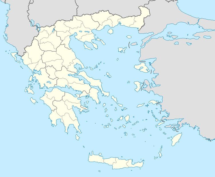
Panagitsa (Greek: Παναγίτσα) is a community in the municipal unit of Levidi, northern Arcadia, Greece. It is situated at the edge of a wide valley, at 540 m elevation. It is 3 km west of Chotoussa, 5 km southeast of Dara, 6 km east of Prasino and 12 km northwest of Levidi. The Greek National Road 33 (Patras - Tripoli) passes through the village.
Map of Panagitsa 220 02, Greece
References
Panagitsa, Arcadia Wikipedia(Text) CC BY-SA