
Lowest elevation 1.030 m (3.379 ft) Vehicle registration TP | Highest elevation 1.035 m (3.396 ft) Time zone EET (UTC+2) Local time Friday 12:07 PM Regional unit Arcadia | |
 | ||
Weather 8°C, Wind NE at 10 km/h, 71% Humidity | ||
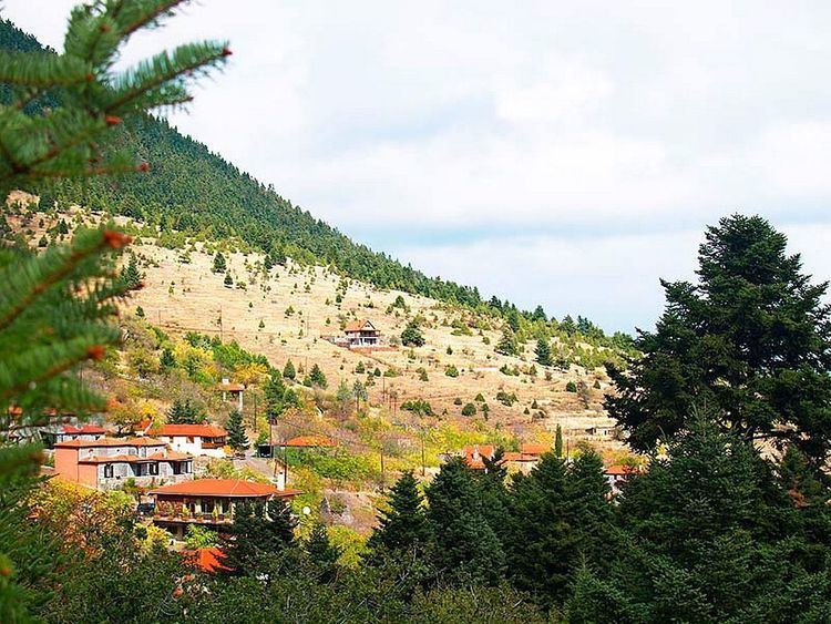
Kardaras (Greek: Καρδαράς) is a mountain village in the municipal unit of Levidi, Arcadia, Greece. It is situated in the eastern foothills of the Mainalo mountains, at 1,030 m elevation and is considered a traditional settlement. As of 2011, it had a population of 20. It is 5 km northwest of Kapsas, 6 km south of Levidi, 6 km east of Alonistaina and 15 km northwest of Tripoli. The Greek National Road 74 (Tripoli - Olympia - Pyrgos) passes east of the village.
Map of Kardaras 220 02, Greece
References
Kardaras Wikipedia(Text) CC BY-SA