
ZIP codes 52208, 52225, 52249 Elevation 276 m Local time Saturday 12:42 PM | Time zone CST (UTC-6) GNIS feature ID 0468158 Area 92.17 km² Population 944 (2000) | |
 | ||
Weather 4°C, Wind NW at 24 km/h, 64% Humidity | ||
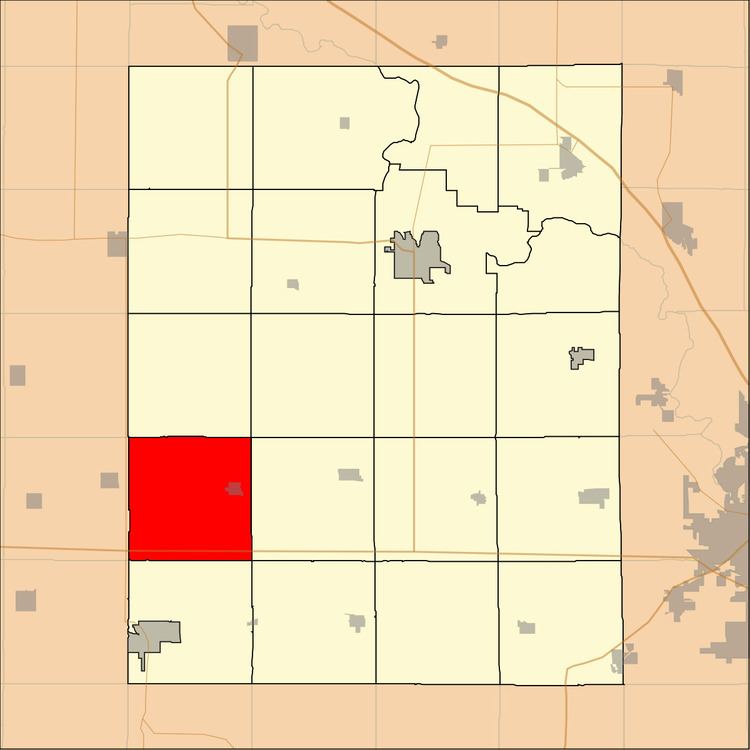
Kane Township is one of twenty townships in Benton County, Iowa, USA. As of the 2000 census, its population was 944.
Contents
- Map of Kane IA USA
- Geography
- Cities towns villages
- Adjacent townships
- Cemeteries
- Major highways
- School districts
- Political districts
- References
Map of Kane, IA, USA
Geography
According to the United States Census Bureau, Kane Township covers an area of 35.59 square miles (92.17 square kilometers).
Cities, towns, villages
Adjacent townships
Cemeteries
The township contains these four cemeteries: Holy Cross, Irving, Keystone and Redman.
Major highways
School districts
Political districts
References
Kane Township, Benton County, Iowa Wikipedia(Text) CC BY-SA