
ZIP codes 52208, 52249, 52257 Elevation 281 m Local time Wednesday 12:04 AM | Time zone CST (UTC-6) GNIS feature ID 0468077 Area 84.98 km² Population 423 (2000) | |
 | ||
Weather -13°C, Wind NW at 10 km/h, 85% Humidity | ||
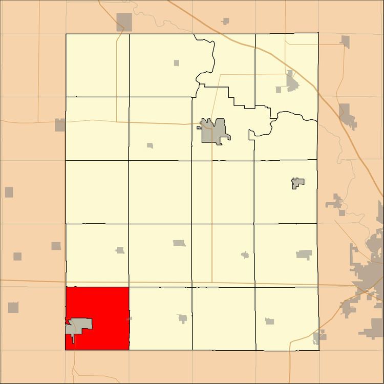
Iowa Township is one of twenty townships in Benton County, Iowa, USA. As of the 2000 census, its population was 423.
Contents
- Map of Iowa IA USA
- Geography
- Cities towns villages
- Unincorporated towns
- Adjacent townships
- Cemeteries
- Major highways
- Airports and landing strips
- School districts
- Political districts
- References
Map of Iowa, IA, USA
Geography
According to the United States Census Bureau, Iowa Township covers an area of 32.81 square miles (84.98 square kilometers); of this, 32.74 square miles (84.8 square kilometers, 99.79 percent) is land and 0.07 square miles (0.18 square kilometers, 0.21 percent) is water.
Cities, towns, villages
The city of Belle Plaine is entirely within this township geographically but is a separate entity.
Unincorporated towns
(This list is based on USGS data and may include former settlements.)
Adjacent townships
Cemeteries
The township contains these three cemeteries: Beal, Lutheran and Wright.
Major highways
Airports and landing strips
School districts
Political districts
References
Iowa Township, Benton County, Iowa Wikipedia(Text) CC BY-SA