
Country United States GNIS feature ID 453443 Area 70.94 km² Population 1,524 (2010) | State Indiana FIPS code 18-36990 Elevation 303 m Local time Friday 10:50 PM | |
 | ||
Weather 4°C, Wind W at 8 km/h, 100% Humidity | ||
Jackson Township is one of nine townships in Fayette County, Indiana. As of the 2010 census, its population was 1,524 and it contained 615 housing units.
Contents
- Map of Jackson Township IN 47331 USA
- History
- Geography
- Unincorporated towns
- Adjacent townships
- Major highways
- Cemeteries
- References
Map of Jackson Township, IN 47331, USA
History
Jackson Township was established in 1820 from land given by Columbia Township. It was named for General and afterward President Andrew Jackson.
Geography
According to the 2010 census, the township has a total area of 27.39 square miles (70.9 km2), all land.
Unincorporated towns
Adjacent townships
Major highways
Cemeteries
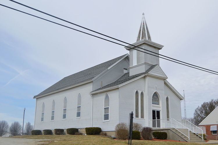
The township contains the following cemeteries: Maize Elliott Farm Cemetery, Everton Cemetery, Green Family Cemetery, Ireland Church Cemetery, Sarah and John Lee Farm Cemetery, Mt. Zion Cemetery, Myers-Brumfiel Cemetery, Old Parrot or Marvin Rose Cemetery, Poplar Ridge Cemetery, Union or Old Smallwood Cemetery
References
Jackson Township, Fayette County, Indiana Wikipedia(Text) CC BY-SA