
Country United States GNIS feature ID 453689 Local time Sunday 12:09 AM | FIPS code 18-56736 Elevation 314 m Population 736 (2010) | |
 | ||
Weather 17°C, Wind SE at 10 km/h, 68% Humidity Area 54.83 km² (54.75 km² Land / 8 ha Water) | ||
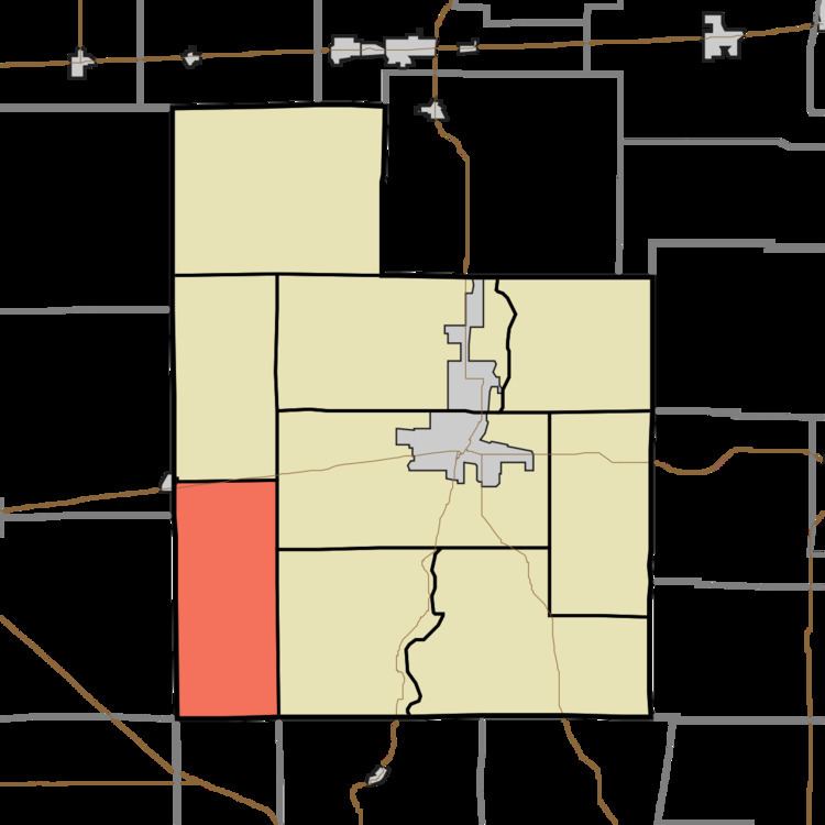
Orange Township is one of nine townships in Fayette County, Indiana. As of the 2010 census, its population was 736 and it contained 296 housing units.
Contents
- Map of Orange Township IN USA
- History
- Geography
- Cities and towns
- Unincorporated community
- Adjacent townships
- Major highways
- Cemeteries
- References
Map of Orange Township, IN, USA
History
Orange Township was organized in 1822. Many of its early settlers were natives of Orange County, North Carolina, hence the name.
Geography
According to the 2010 census, the township has a total area of 21.17 square miles (54.8 km2), of which 21.14 square miles (54.8 km2) (or 99.86%) is land and 0.03 square miles (0.078 km2) (or 0.14%) is water.
Cities and towns
Unincorporated community
Adjacent townships
Major highways
Cemeteries
The township contains two cemeteries: Old Friends Church and Orange-North.
References
Orange Township, Fayette County, Indiana Wikipedia(Text) CC BY-SA