
Length 48 km | ||
 | ||
Bridges Lower Humbert Covered Bridge, Barronvale Bridge, King's Bridge | ||
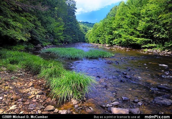
Laurel Hill Creek is a 37.8-mile-long (60.8 km) tributary of the Casselman River in Somerset County, Pennsylvania, in the United States.
Contents
- Map of Laurel Hill Creek Pennsylvania USA
- Trout fishing laurel hill creek delayed harvest march 19 2016
- BridgesEdit
- References
Map of Laurel Hill Creek, Pennsylvania, USA
It is part of the Youghiogheny River watershed, flowing to the Monongahela River, the Ohio River, and ultimately the Mississippi River.
Laurel Hill Creek drains the east slope of Laurel Hill in the Laurel Highlands and flows to the appropriately named community of Confluence, where it joins the Casselman River a few yards above the Youghiogheny.
Laurel Hill Creek was listed at #7 on American Rivers' "Most Endangered Rivers" list for 2009.
Trout fishing laurel hill creek delayed harvest march 19 2016
BridgesEdit
Barronvale Bridge, King's Bridge and Lower Humbert Covered Bridge cross Laurel Hill Creek.
References
Laurel Hill Creek Wikipedia(Text) CC BY-SA