 | ||
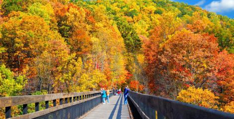
Thru hiking the laurel highlands hiking trail 6 days 70 miles
The Laurel Highlands is a region in southwestern Pennsylvania made up of Cambria County, Fayette County, Somerset County and Westmoreland County. It has a population of about 600,000 people.
Contents
- Thru hiking the laurel highlands hiking trail 6 days 70 miles
- Return to the laurel highlands thru hiking 4 days 70 miles
- Amusement Parks and Resorts
- Architecture
- Historic Sites
- Parks and Outdoor Recreation
- Ski Resorts
- References

The actual geographic feature is approximately fifty-five miles southeast of Pittsburgh, the Laurel Highlands center on Laurel Hill and Chestnut Ridge of the Allegheny Mountains. The mountains making up the Laurel Highlands are the highest in Pennsylvania, with Mount Davis in Somerset County the highest point in the state at 3,213 feet (979 m). Because of the elevation, weather in the Laurel Highlands are generally cooler and wetter than in most other parts of the state.
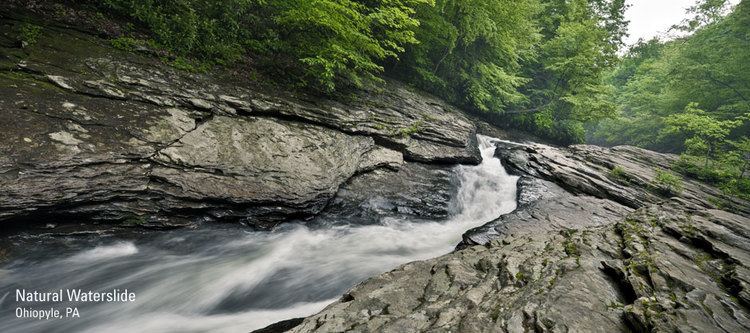
The Laurel Highlands are a popular area for hiking, mountain biking, hunting, trout fishing, wildlife viewing, and downhill (and cross-country) skiing.
Return to the laurel highlands thru hiking 4 days 70 miles
Amusement Parks and Resorts
Architecture
Historic Sites
Parks and Outdoor Recreation
Ski Resorts