Established 1945 Postal code 5016 | Postcode(s) 5016 Founded 1945 | |
 | ||
Beach largs north south australia
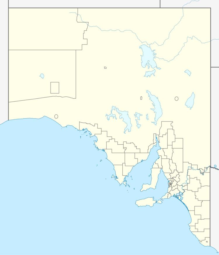
Largs North is a suburb in the Australian state of South Australia located on the Lefevre Peninsula in the west of Adelaide about 17 kilometres (11 mi) northwest of the Adelaide city centre.
Contents
- Beach largs north south australia
- Map of Largs North SA 5016 Australia
- Description
- Facilities
- Transport
- Governance
- References
Map of Largs North SA 5016, Australia
Description
Largs North is bounded to the north by the suburb of Taperoo at Strathfield Terrace, to the south by the suburb of Largs Bay at Walcot and Warwick Streets and in the west and east by Gulf St Vincent and the suburb of Port Adelaide with the boundary in the middle of the Port River respectively.
Largs North is essentially a residential suburb, with a minor harbourside presence on the eastern side of the suburb.
Facilities
The local high school is Ocean View College Gedville Campus, in nearby Taperoo. There is a nursing home on Victoria Road and an RSL club on Carnarvon Terrace. Largs North Oval overlooking Victoria Road is the main outdoor recreational reserve in the suburb.
The eastern side of the suburb, by the Port riverside is known as Snowden Beach and is the location of a sulphuric acid works, which is connected to a freight railway. There is a swinging basin in the area, and it is the site of Port River Sailing Club and Port Adelaide Rowing Club.
Transport
The 157 and 333 buses service Military Road, while the 150 services Carnarvon Terrace. The suburb is serviced by two train stations on the Outer Harbor railway line, Draper railway station and Largs North railway station.
Governance
Largs North is located within the federal division of Port Adelaide, the state electoral district of Port Adelaide and the local government area of the City of Port Adelaide Enfield.
