
Trail difficulty Easy Length 20,921 m | Season Year Round | |
 | ||
Trailheads MSU campus,Dietrich Park,North Lansing Hazards Flooding, Overhead clearance Similar | ||
Lansing river trail 3 3
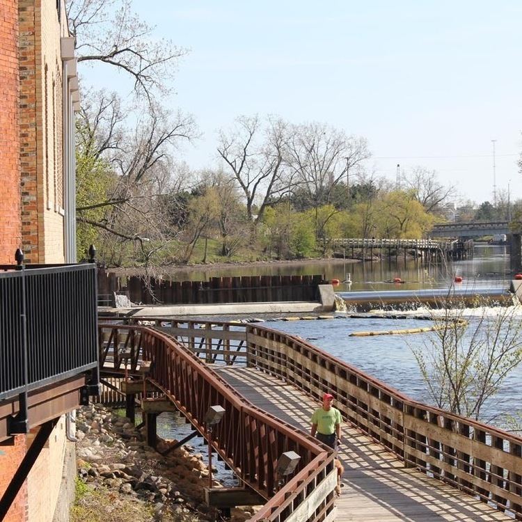
Lansing River Trail is a multiple use, non-motorized trail approximately 13 miles (21 km) long. It runs along the Grand River and the Red Cedar River between Michigan State University and Dietrich Park in northern Lansing.
Contents
Map of Lansing River Trail, Lansing, MI 48910, USA
The trail has a western extension that begins where it splits off at River Point park just south of downtown Lansing and ends in Moores Park. The River Trail South stretches along Sycamore Creek from Potter Park to Maguire Park in southeast Lansing. The stretch from Hawk Island County Park to Maguire Park was completed in 2008.
The River Trail is also home to a number of special events, including the Common Ground Music Festival, the Annual Mayor's Walk, Michigan Run, the Capital City River Run and a number of other city-sponsored activities.
The trail is currently being extended into Delhi Township to connect with an existing trail in Holt, as well as east to west across south Lansing.