
Country United States Elevation 137 m Local time Sunday 6:06 AM | GNIS feature ID 453541 Area 62.03 km² Population 281 (2010) | |
 | ||
ZIP codes 47523, 47601, 47619, 47637 Weather -4°C, Wind N at 8 km/h, 63% Humidity | ||
Lane Township is one of ten townships in Warrick County, Indiana, United States. As of the 2010 census, its population was 281 and it contained 119 housing units.
Contents
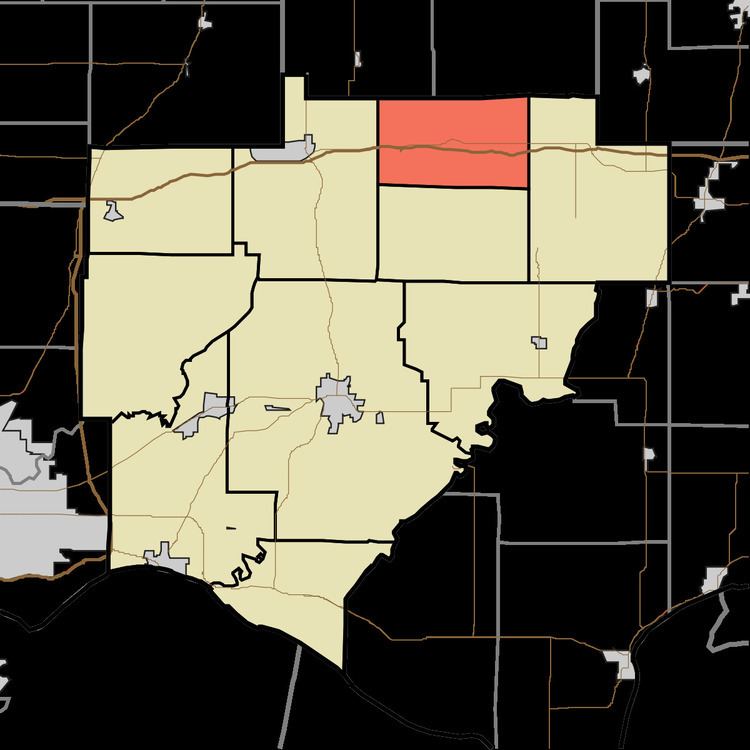
- Map of Lane Township IN USA
- History
- Geography
- Unincorporated towns
- Adjacent townships
- Cemeteries
- School districts
- Political districts
- References
Map of Lane Township, IN, USA
History
Lane Township was formed out of Owen Township in 1859. The township was named for Joseph Lane, a state legislator.
Geography
According to the 2010 census, the township has a total area of 23.95 square miles (62.0 km2), of which 23.51 square miles (60.9 km2) (or 98.16%) is land and 0.43 square miles (1.1 km2) (or 1.80%) is water.
Unincorporated towns
(This list is based on USGS data and may include former settlements.)
Adjacent townships
Cemeteries
The township contains these two cemeteries: Ashby and Ebenezer.
School districts
Political districts
References
Lane Township, Warrick County, Indiana Wikipedia(Text) CC BY-SA